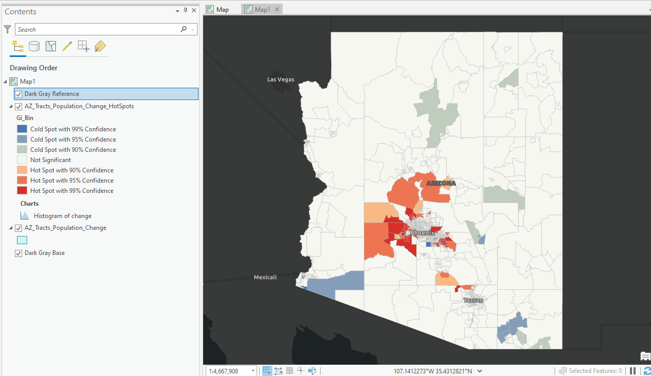
Mapping Population Growth Hot Spots with R and ArcGIS Pro
This tutorial demonstrates how to use R and ArcGIS Pro to generate hot spot maps of population growth by census tract. In a previous article I showed you how to use the tidycensus R package to quickly access and map US census data. You can also download a free copy of...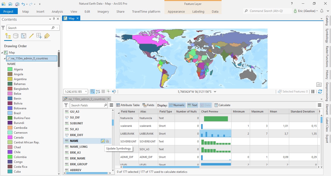
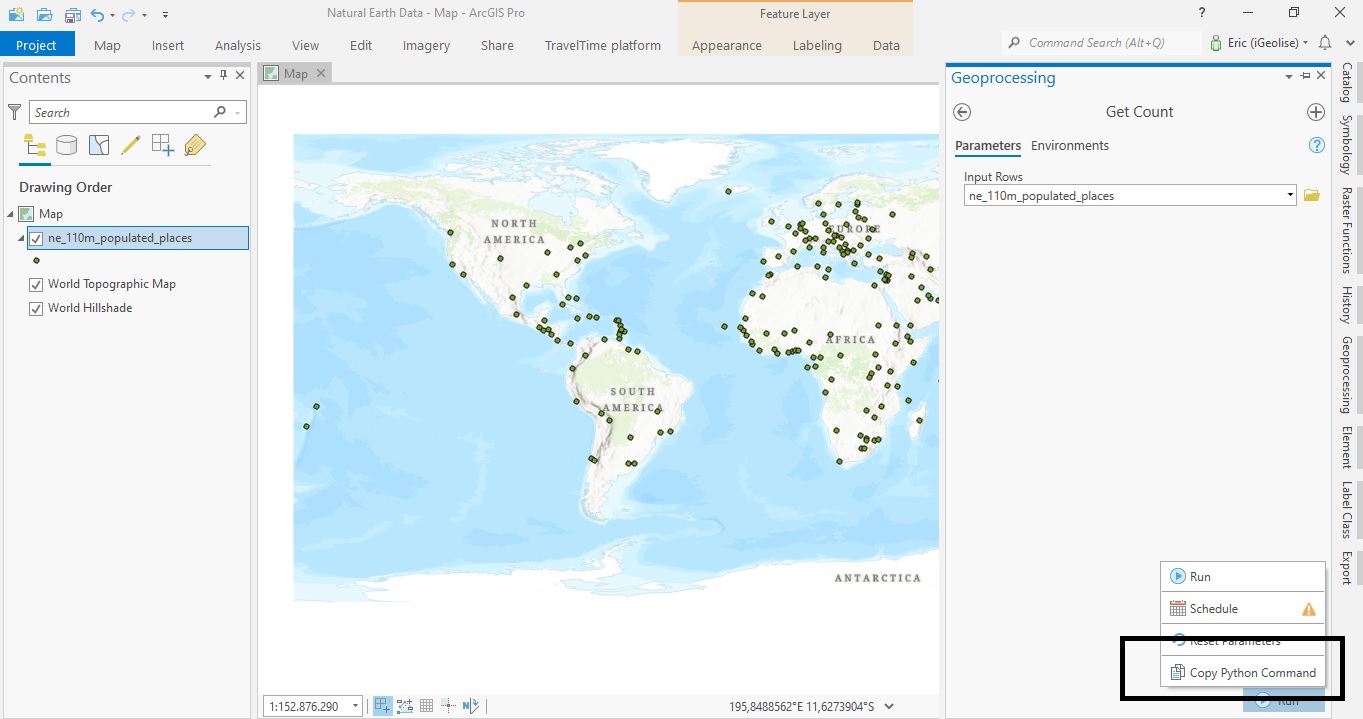
ArcGIS Pro 2.8 Data Engineering Tutorial
ArcGIS Pro 2.8 comes with a new Data Engineering toolset. This tutorial demonstrates how to get started using data engineering in ArcGIS Pro. To follow along with the steps in this tutorial, download the Natural Earth quick start kit and create a new folder connection...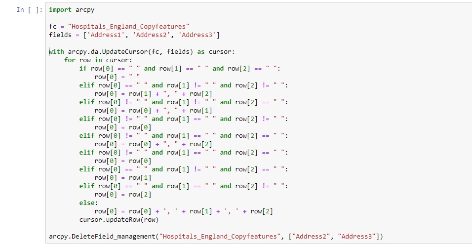
Using an Arcpy UpdateCursor to Edit an Attribute Table
In this tutorial, we will be using an UpdateCursor object to edit an attribute table. Specifically, we will join field values from three separate fields to a single field value and apply string formatting for each iteration of the cursor object. An arcpy UpdateCursor...
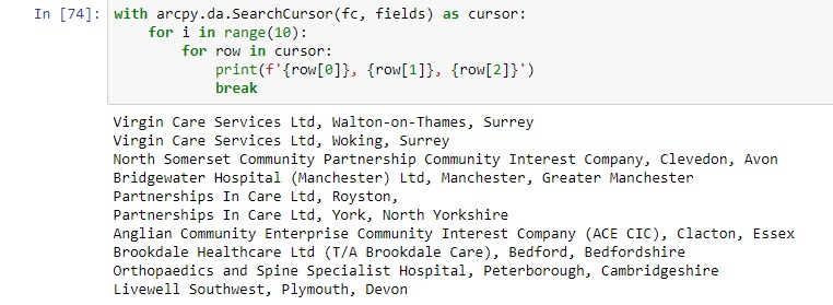
Using a Where Clause Inside a SearchCursor to Filter Data
In this tutorial, we will be using using SearchCursors with a where clause used as an optional parameter. We will explain the function of where clauses and their syntax when creating a SearchCursor object with arcpy. What is a where clause? When you look at the syntax...