Understanding the Geodatabase Format in ArcGIS Pro – Part 3
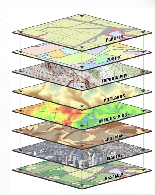
Read Part 1 Read Part 2 Part 3: Geodatabase Data Models and Schema Design Effective geodatabase schema design is fundamental to creating robust, efficient, and maintainable spatial data systems. The geodatabase data model provides sophisticated tools for organizing...
Understanding the Geodatabase Format in ArcGIS Pro – Part 2
Part 2 of a 6 part series on the geodatabase data format. You can read Part 1 here. The geodatabase architecture in ArcGIS Pro encompasses three distinct implementation types, each designed to serve specific use cases and deployment scenarios. Understanding the...
Understanding the Geodatabase Format in ArcGIS Pro – Part 1
Part 1 of a 6 part series on the geodatabase data format. Foundation and Core Concepts The geodatabase is the cornerstone of data management in ArcGIS Pro, representing Esri’s flagship format for storing, managing, and analyzing geographic information. Unlike...
ArcGIS Pro 3.5: Enhanced Performance and Intelligence for Modern GIS Workflows
Learn more about ArcGIS Pro in our introductory Mastering ArcGIS Pro 3: Maps, Layers, Projects, and Layouts class and our intermediate level Mastering ArcGIS Pro: Editing, Analysis, and Automation class. The May 2025 release of ArcGIS Pro 3.5 delivers significant...