Tutorial: Introducing the Field Statistics to Table tool in ArcGIS Pro 2.9
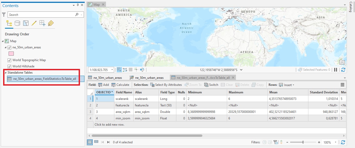
In this tutorial, we’ll cover the Field Statistics to Table tool, that gives more flexibility to calculating field statistics from attribute table data. As the name suggests, the Field Statistics to Table tool creates a standalone table of descriptive statistics for...
Tutorial: Creating A Spatially Enabled DataFrame in ArcGIS Pro
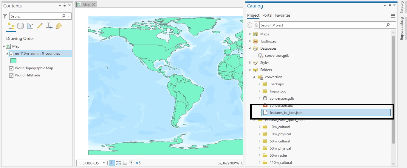
In this tutorial, we’ll show how you can use a Spatially Enabled DataFrame (SDEF) in ArcGIS Pro to easily convert feature classes back and forth to pandas dataframes. Esri’s ArcGIS API for Python introduced the Spatially Enabled DataFrame, an object to manipulate...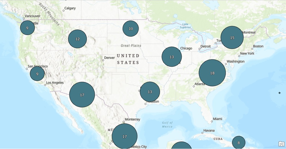
Dynamic Feature Clustering in ArcGIS Pro 2.9
The latest release of ArcGIS Pro includes a new way to aggregate features into clusters. This tutorial explains how to use this capability. What is feature clustering? Feature clustering is a way to aggregate point features into clusters, which are symbols that...
Setting A Map Projection for Single and Multiple Layers in ArcGIS Pro
In this tutorial, we’ll add an XY-value dataset to ArcGIS Pro and show how to project a single map layer and set the projection for multiple layers inside a map. Introduction Often, you will need to work with spatial data from outside your organization. You will have...