

600+ Federal, State, Local Open GIS Data Servers
Earlier this year, Joseph Elfelt of MappingSupport.com posted two pdf files with internet addresses for federal and state ArcGIS servers with open data. That work has now been combined into a single pdf file. In addition, internet addresses for various regional,...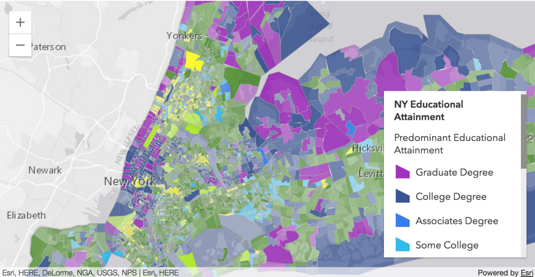
List of 150+ State GIS Servers with Open Data
Today’s post comes to us from Joseph Elfelt from MappingSupport.com. Last week Joseph presented his list of 50+ Federal GIS open servers. Both these lists are great resources! Below is a link to a PDF I put together with a list of state ArcGIS servers with open...
New Book – Building Web and Mobile ArcGIS Server Applications with JavaScript
We’re happy to announce that our latest book, Building Web and Mobile ArcGIS Server Applications with JavaScript, has been published by Packt Publishing. The book was co-authored by Eric Pimpler and Mark Lewin and is available for sale in both digital and hard...
New Features in the ArcGIS JavaScript API 4.2
This blog post covers new features in the ArcGIS JavaScript API 4.2, released as part of ArcGIS 10.5. Discussed below are new widgets, smart mapping in 2D and 3D, vector tiles in 3D, support for the Arcade scripting language and more. Widgets Widgets are reusable...