R Tutorials for Spatial Analysis
R has a full library of tools for working with spatial data. This includes tools for both vector and raster data, as well as interfacing with data from other sources (like ArcGIS) and making maps. Here are some excellent resources for learning R and R for Spatial...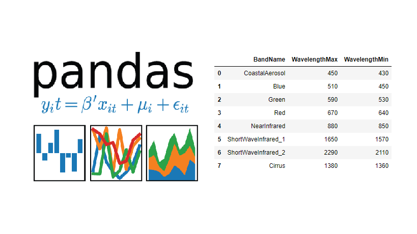
Tutorial – Using Pandas DataFrames with the ArcGIS API for Python
This short tutorial covers how to use the ArcGIS API for Python and pandas DataFrame objects for displaying tabular data inside of your Jupyter Notebook application. After searching and referencing spatial data, you the pandas library enables you to subset, describe...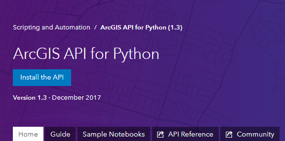
3 New Features of the ArcGIS API for Python
Late December of 2017, Esri released the 1.3 version of their ArcGIS API for Python. The release counts many new features and capabilities. Three of these are covered below: easier login to ArcGIS Online, a new module for data enrichment and an easier ways to save and...