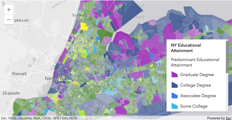
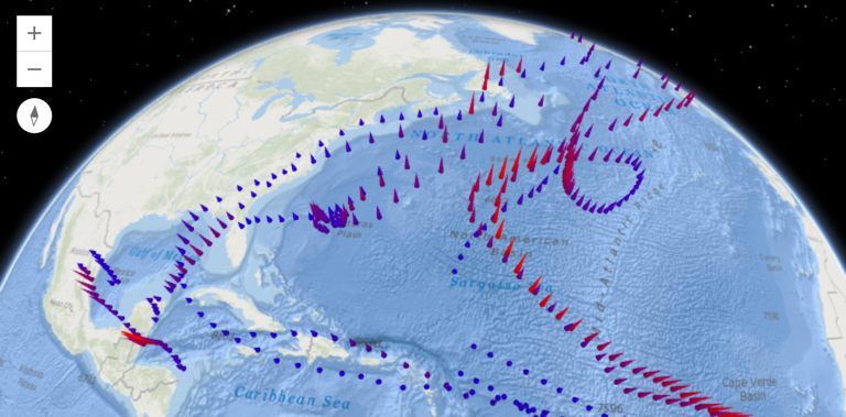
Late December of 2017, Esri released the 1.3 version of their ArcGIS API for Python. The release counts many new features and capabilities. Three of these are covered below: easier login to ArcGIS Online, a new module for data enrichment and an easier ways to save and...
Articles & Tutorials
List of 150+ State GIS Servers with Open Data
Today’s post comes to us from Joseph Elfelt from MappingSupport.com. Last week Joseph presented his list of 50+ Federal GIS open servers. Both these lists are great resources! Below is a link to a PDF I put together with a list of state ArcGIS servers with open...
Google Earth Pro for Real Estate
Our newest book, Google Earth Pro for Real Estate, will be published on February 1st, 2018.
List of 50+ Federal GIS Servers with Open Data
Today's post comes to us from Joseph Elfelt from MappingSupport.com. As a software developer in the field of online maps I am aware that the federal government operates various GIS servers with open data. Anyone with the right tech savvy can access that data. No login...
ArcGIS Pro 2.1 Coming Soon
While we don't have an exact release date, we expect Esri will be releasing ArcGIS Pro 2.1 sometime during the first quarter of 2018. We have been testing the beta version for a little bit now and Esri continues to add functionality to what is becoming their premier...
2017 URISA GIS Salary Survey
URISA has released the Executive Summary for the 2017 GIS Salary Survey. This document is a preview of the 2017 URISA GIS Salary Survey, and includes valuable summary data from the survey results. The full publication with an abundance of detailed tabular data and...
Free Chapter – Building Web and Mobile ArcGIS Server Apps with JavaScript
We’re happy to announce that our latest book, Building Web and Mobile ArcGIS Server Applications with JavaScript, has been published by Packt Publishing. The book was co-authored by Eric Pimpler and Mark Lewin and is available for sale in both digital and hard copy...
Tutorial: Creating a Pandas DataFrame from a Shapefile
ArcPy doesn´t have an option to export shapefile attribute tables to pandas DataFrame objects. Fortunately, there are number of workarounds available to make this happen. Pandas DataFrame objects are comparable to Excel spreadsheet or a relational database table. They...
Giving Away 5 Copies of Programming ArcGIS Pro with Python
We're giving away another 5 copies of the digital version of my book Programming ArcGIS Pro with Python the last day of December. Yesterday we gave away the first 5 copies and we'll do this every month for six months. Register at the link below....
Save 25% on GIS Training – 14th Annual Holiday Sale
Our 14th annual holiday sale begins this Monday, November 20th. You can save up to 25% on any GIS training that we provide including our Annual GIS Training License and any of our live training events below. Simply use the discount code 'holiday' when checking out...

