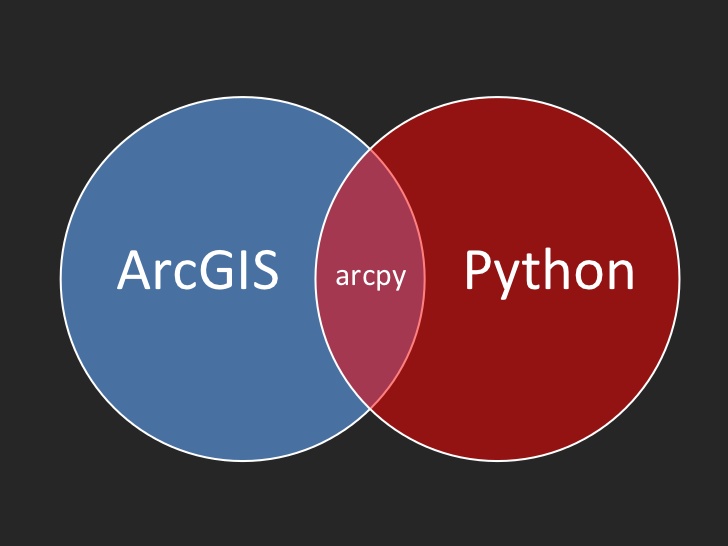
Our new Introduction to Programming ArcGIS Pro with Python class has been released! This class is offered is a variety of formats including classroom, live-online, and self-paced online.
In our Introduction to Programming ArcGIS Pro with Python course you will learn introductory level Python skills with ArcGIS Pro to automate your geoprocessing tasks.
We’ll start with an overview of the basic programming constructs of Python version 3.4. You’ll learn how to create variables, assign data to variables, work with lists, dictionary, and tuples, branch your code with if/else, for, and while statements, work with classes and objects, and other fundamentals. You’ll also learn how to handle error and exceptions in your code. Using the Python try/except code block along with error messages that are generated in ArcPy you’ll understand how to gracefully trap and recover from the inevitable errors in your code.
Next, in Module 2, you’ll learn the fundamentals of the Arcpy core library along with several sub-modules including the Mapping and Data Access modules. You’ll learn also learn the basic classes and functions from the Arcpy core library.
In Module 3 you’ll learn how to call existing geoprocessing tools from your scripts.
Modules 4 through 7 cover the Arcpy Mapping module in exhaustive details. In Module 4 you’ll learn how to write geoprocessing scripts that manage your projects as well as the maps, layers, and tables that are part of your projects. You’ll learn how to programmatically add and remove layers from a map, update symbology and properties of layers, and much more including working with the new Camera and Bookmark classes. In Module 5 you’ll learn how to work with layouts. In ArcGIS Pro you can have multiple layout views so you’ll learn how to manage these objects, make programmatic changes to the elements in the layouts, and export or print the layouts. Module 6 covers the automation of map production and printing including the use of map books. Finally, in Module 7 you’ll discover how to find and fix broken data links in your ArcGIS Pro project files.
Course Modules
- Module 1: Introduction to Version 3.4 of the Python Programming Language
- Module 2: Introduction to using Arcpy in ArcGIS Pro
- Module 3: Error Handling and Trouble Shooting
- Module 4: Using the Arcpy Mapping Module to Manage Projects, Maps, and Layers
- Module 5: Managing Layouts with the Arcpy Mapping Module
- Module 6: Automating Map Production and Printing
- Module 7: Updating and Fixing Data Sources

