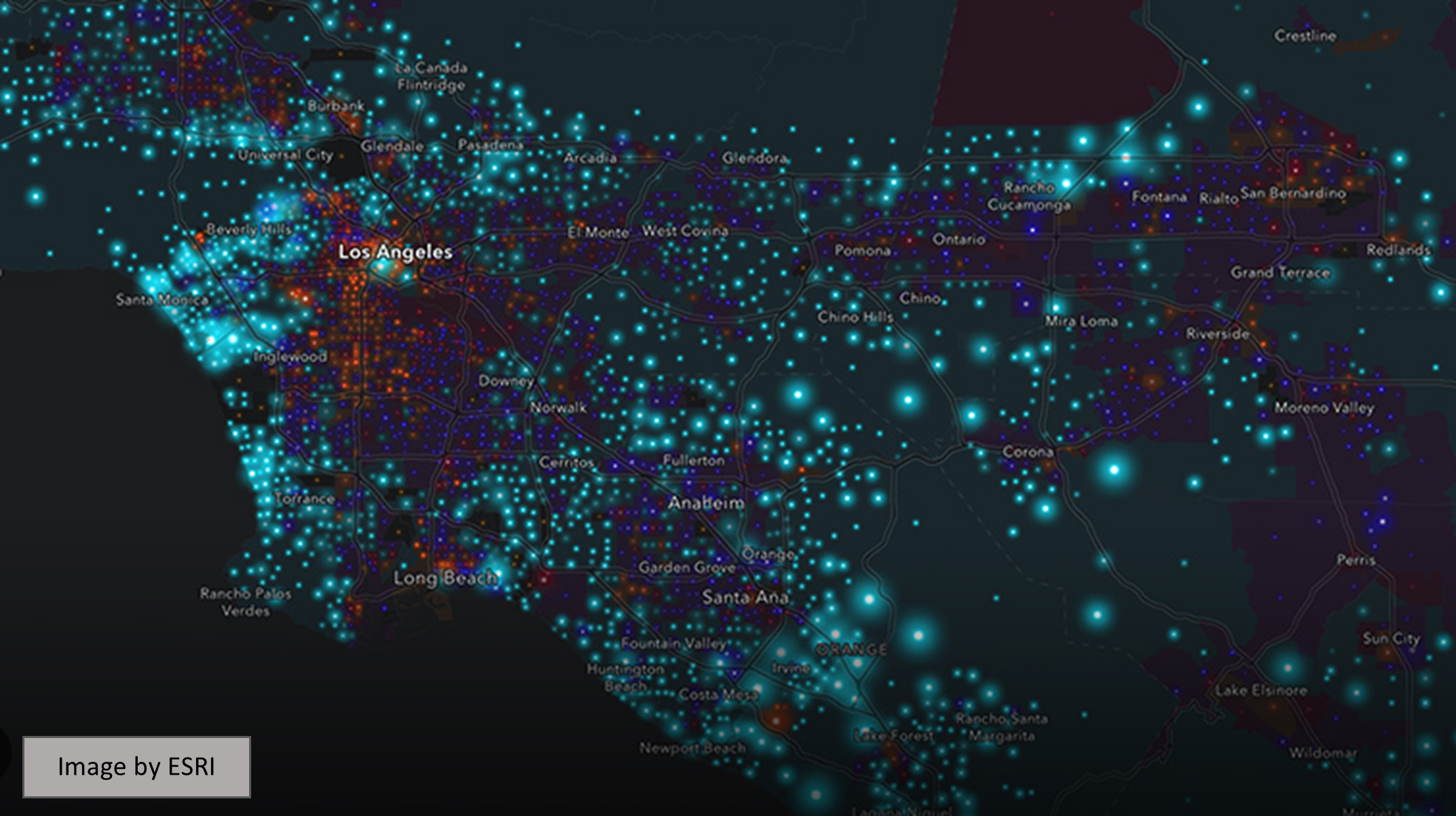
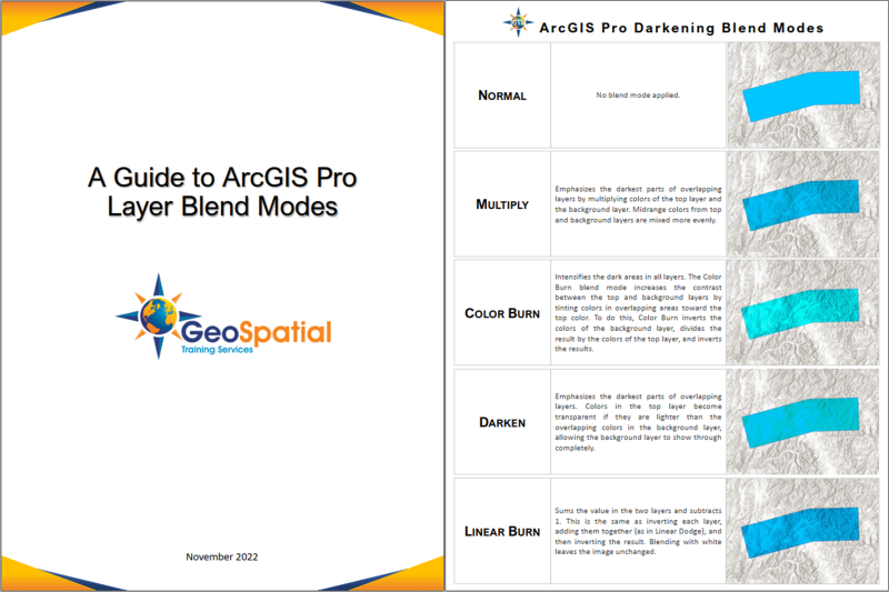
Articles & Tutorials

Creating and Populating a Mosaic Dataset in ArcGIS Pro

Creating and Populating a Mosaic Dataset in ArcGIS Pro

In this tutorial, we will create a mosaic dataset in ArcGIS Pro and populate it with raster images that can be used for further analysis. A mosaic dataset in Pro can be regarded as a subclass of a file geodatabase. They are used to manage raster data: creating a new...

read more
Web AppBuilder Video Tutorials

Web AppBuilder Video Tutorials

Below is a series of YouTube video tutorials on WebAppBuilder. Be sure to subscribe to our YouTube channel so you can be alerted to future videos. https://youtu.be/gZcsAueSXJk https://youtu.be/DZR9uCw-XZM https://youtu.be/227wBG8yqcY...

read more
Data Exploration and Analysis with ArcGIS Notebooks

Data Exploration and Analysis with ArcGIS Notebooks

This is a short tutorial where we use ArcGIS Notebooks inside ArcGIS Pro to do data exploration and analysis. In this tutorial you’ll learn the following: How to create a new Notebook inside an ArcGIS Pro projectHow to reference a local workspace using arcpyHow to...

read more
Layer Blending in ArcGIS Pro

Layer Blending in ArcGIS Pro

ArcGIS Pro 2.7 introduces a new tool for applying visual effects called layer blending. We’ll have a look at different ways to apply layer blending with raster layers. What is layer blending? Layer blending is a feature that has been available in QGIS for some time...

read more
Working with Label Classes

Working with Label Classes

Label classes are used to restrict labels based on certain features or to specify field, symbols, sale ranges, and other options for groups of labels.  They can be used to specify different label properties for features in the same layer.  For example, for a...

read more
Limiting Labels with SQL Queries in ArcGIS Pro

Limiting Labels with SQL Queries in ArcGIS Pro

There may be times when it makes sense to limit the features that will be labeled in a layer.  This is often the case when you have a layer that contains many features that would look very cluttered if you attempted to label all the features.  Attempting to label all...

read more
Using Display Filters in ArcGIS Pro to Limit Feature Display

Using Display Filters in ArcGIS Pro to Limit Feature Display

Display filters in ArcGIS Pro are queries that limit which features of a layer are displayed. Display filters can be determined by scale, or set manually. They differ from definition queries in that display filters impact the display only. The features filtered from...

read more

Categories

Recent Posts

Sign up for our weekly newsletter
to receive content like this in your email box.