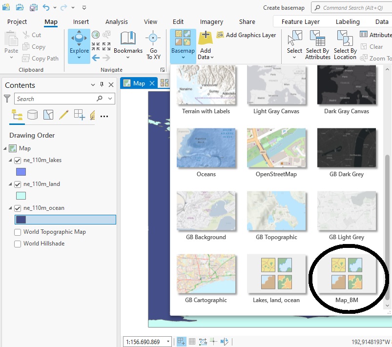
In this tutorial, we’ll learn how to configure and display simple pop-ups for feature layers. In Pro, pop-ups can be configured to display information about individual map features. Rather than statically displaying this information on a map, the user can click on a...
Articles & Tutorials
Tutorial: Visualize and Reuse GIS Workflows with Model Builder in ArcGIS Pro
In this tutorial, we’ll use Pro’s Model Builder to create a reusable workflow. Pro’s Model Builder is a visual workflow tool lets you automate GIS workflows. You can use it to chain the input and output of multiple geoprocessing tools, and save that for future use. In...
Tutorial – Creating a Heat Map in ArcGIS Pro
In this tutorial, you will learn how to create a heat map in ArcGIS Pro. This heat map will display the distribution of individual points that represent populated areas in the US. Using population values as a weight field, we can visualize the highest populated areas...
Combining Multiple Spatial Analysis tools in ArcGIS Pro
The following tutorial uses multiple spatial analysis tools to be able to compare population counts for the four different regions in the US. When doing spatial analysis, you often must combine multiple tools to be able to find a solution to a specific problem. This...
Tutorial: Mapping Migration Flows with R
The American Community Survey Migration Flows dataset estimates the number of people that have moved between pairs of places. The estimates are calculated based on where a person lived when surveyed and where they lived one year prior to being surveyed. The data is...
ArcGIS Pro 2.8’s New Copy Python Command
ArcGIS Pro 2.8 comes with a new handy feature that copies the Python command when running a geoprocessing tool inside Pro. This tutorial shows how the tool works, describes some best use cases and how the interpret the results. Pro 2.8 introduces a new handy feature...
Mapping Population Growth Hot Spots with R and ArcGIS Pro
This tutorial demonstrates how to use R and ArcGIS Pro to generate hot spot maps of population growth by census tract. In a previous article I showed you how to use the tidycensus R package to quickly access and map US census data. You can also download a free copy of...
ArcGIS Pro 2.8 Data Engineering Tutorial
ArcGIS Pro 2.8 comes with a new Data Engineering toolset. This tutorial demonstrates how to get started using data engineering in ArcGIS Pro. To follow along with the steps in this tutorial, download the Natural Earth quick start kit and create a new folder connection...
Using an Arcpy UpdateCursor to Edit an Attribute Table
In this tutorial, we will be using an UpdateCursor object to edit an attribute table. Specifically, we will join field values from three separate fields to a single field value and apply string formatting for each iteration of the cursor object. An arcpy UpdateCursor...
Using a Where Clause Inside a SearchCursor to Filter Data
In this tutorial, we will be using using SearchCursors with a where clause used as an optional parameter. We will explain the function of where clauses and their syntax when creating a SearchCursor object with arcpy. What is a where clause? When you look at the syntax...