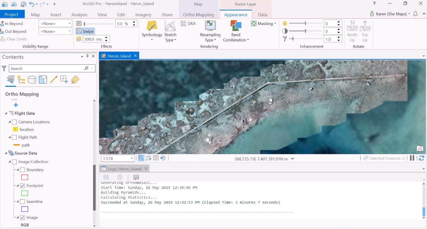
Creating an Orthomosaic from Geotagged Done Imagery in ArcGIS Pro
ArcGIS Pro provides an ortho mapping workflow for creating orthomosaics from geotagged drone imagery. What are orthomosaics and orthorectification? An orthomosaic is a georeferenced image product mosaicked from an image collection, where the geometric distortion of...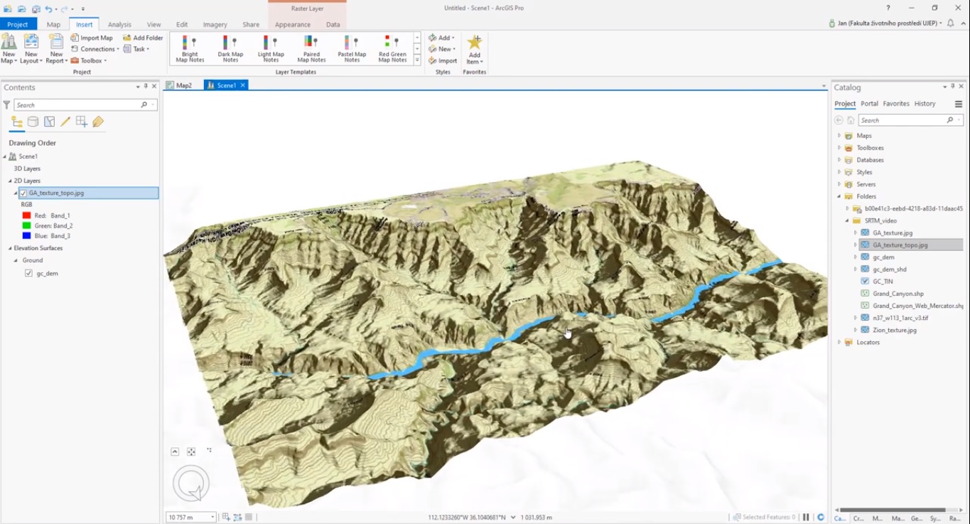
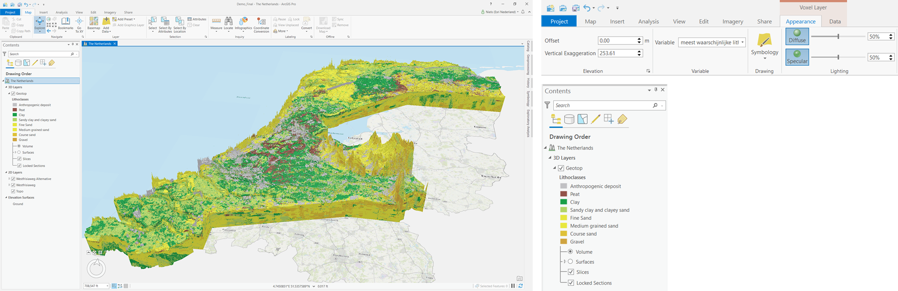
How to Create Hillshade Rasters and TINs with ArcGIS Pro
Using raster ArcGIS Pro’s geoprocessing and 3D Scene layer capabilities, raster data can be used to create and visualize Digital Elevation Models (DEMs) and derivatives, such as hillshade rasters and triangular irregular networks (TINs). Creating a TIN with a point...
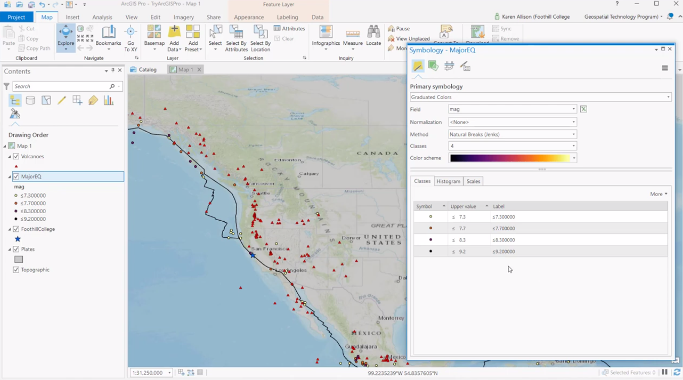
Creating a Digital Elevation Model (DEM) with ArcGIS Pro
ArcGIS Pro makes it easy to create and visualize Digital Elevation Models (DEMs) and derivatives from raster data. What are Digital Elevation Models (DEMs) and derivatives? A Digital Elevation Model is a raster whose pixel values represent elevations of a surface,...