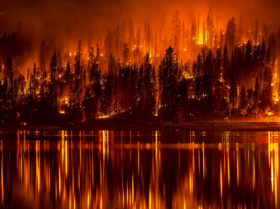
Analyzing Wildfire Activity with Spatial Analytics – Part 4
Part 1 – Analyzing Wildfire Activity with Spatial Analytics Part 2 – Analyzing Wildfire Activity with Spatial Analytics Part 3 – Analyzing Wildfire Activity with Spatial Analytics In part four of our installment on using spatial analytics to examine...
June Sale – Save 20% on Introduction to Spatial Statistics using ArcGIS and R
In June you can save 20% on the self-paced version of our Introduction to Spatial Statistics using ArcGIS and R. Simply enter the discount code: spatialstats when checking out. This applies only to the self paced version. Other Live Classes: August 10th and 11th –...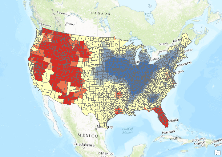
Analyzing Wildfire Activity with Spatial Analytics – Part 3
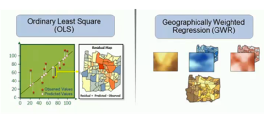
Read Part 1 Read Part 2 In the third installment of our series on analyzing wildfire activity using spatial analytics we’re going to examine the spatial distribution of human induced and naturally occurring wildfires throughout the United States. In the first...
Analyzing Wildfire Activity with Spatial Analytics – Part 2
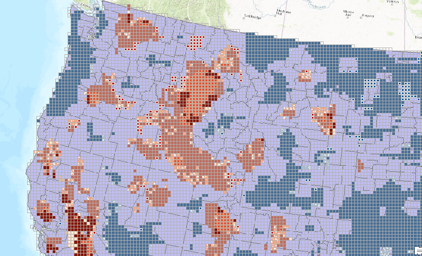
Part 1 – Analyzing Wildfire Activity with Spatial Analytics In this post we’ll continue our analysis of wildfire activity using spatial analytics techniques. In part 1, we downloaded historical wildfire information for the years 2002-2016 from a USGS...