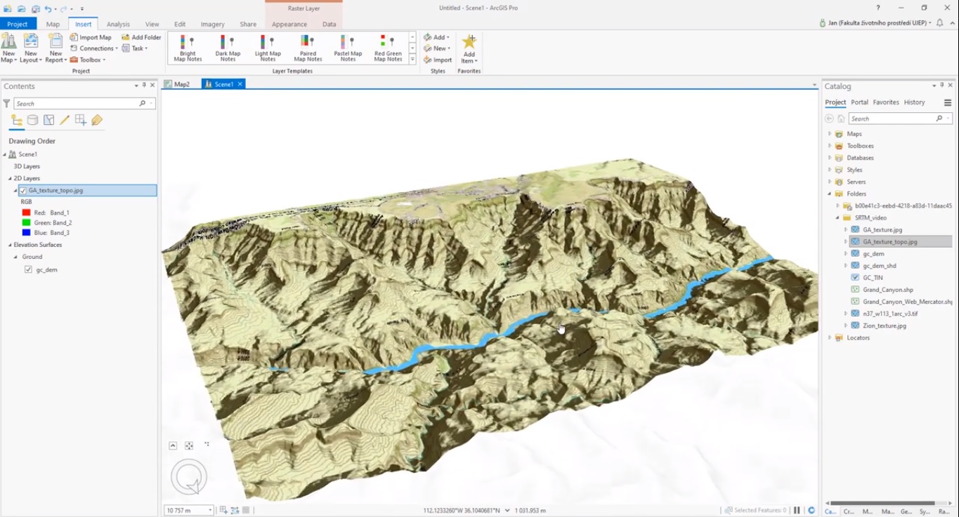

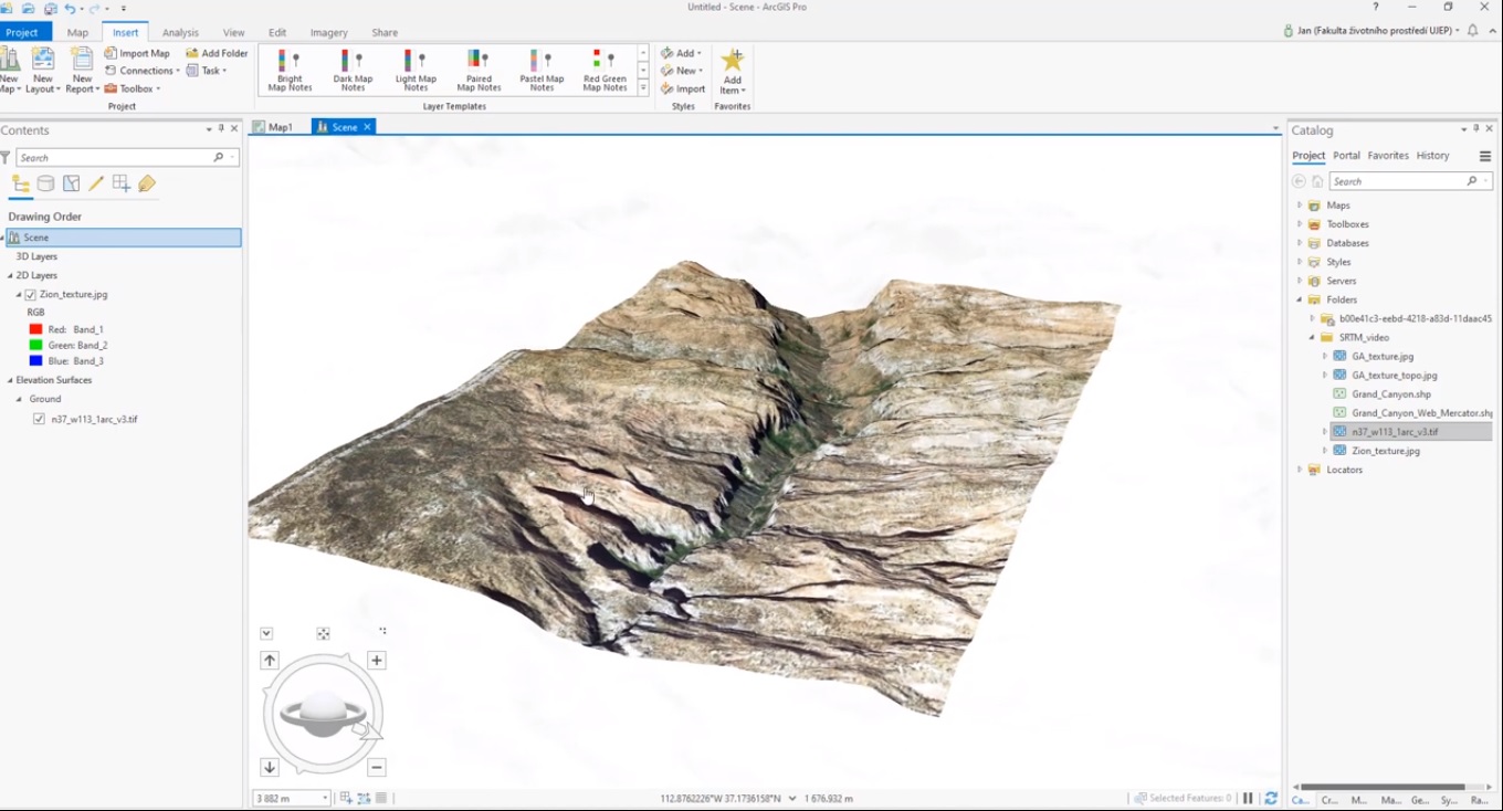
Creating a Digital Elevation Model (DEM) with ArcGIS Pro
ArcGIS Pro makes it easy to create and visualize Digital Elevation Models (DEMs) and derivatives from raster data. What are Digital Elevation Models (DEMs) and derivatives? A Digital Elevation Model is a raster whose pixel values represent elevations of a surface,...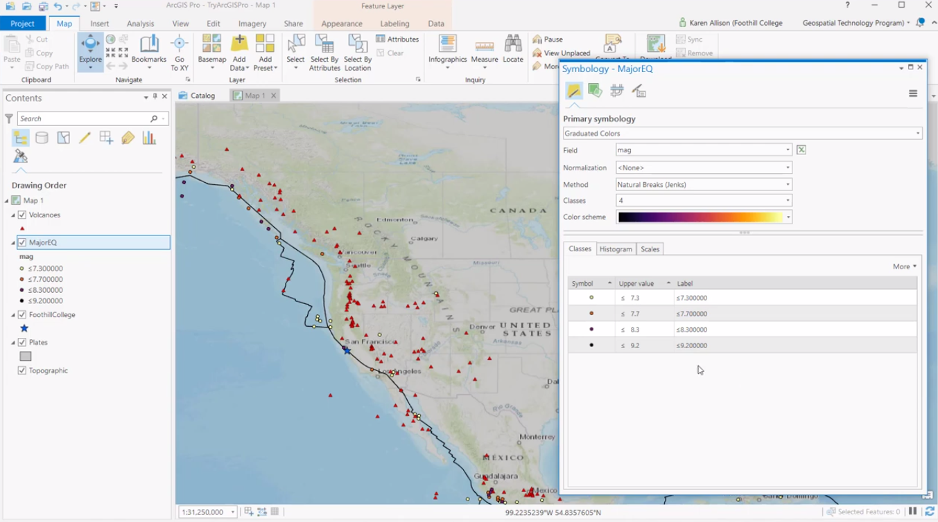
Symbolizing Graduated Color Maps using Histogram and Scales Tabs in ArcGIS Pro
This article explains how to use the Histogram and Scales tabs when creating graduated color symbology in ArcGIS Pro. In ArcGIS Pro, map symbology can be applied by selecting a layer in the Contents pane and clicking Symbology. Next, a Symbology dialog window opens up...
16th Anniversary Sale
Our 16th annual Anniversary Sale runs through May 31st. As always, the sooner you register for a class the more you save. This includes our Annual GIS Training License, Live Classes, ArcGIS Pro Bundle, and Self-Paced Classes. You can use the discount code...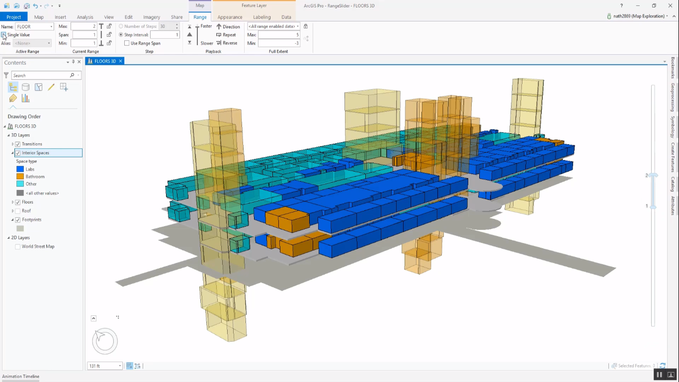
Filtering Data with the ArcGIS Pro Range Slider
This article describes how to use the Range Slider tool in ArcGIS Pro that functions as a display filter for 2D and 3D data. Each layer in ArcGIS Pro comes with a set of properties, that can be accessed and managed through the Layer Properties dialog window. The Layer...