Using Display Filters in ArcGIS Pro to Limit Feature Display
Display filters in ArcGIS Pro are queries that limit which features of a layer are displayed. Display filters can be determined by scale, or set manually. They differ from definition queries in that display filters impact the display only. The features filtered from...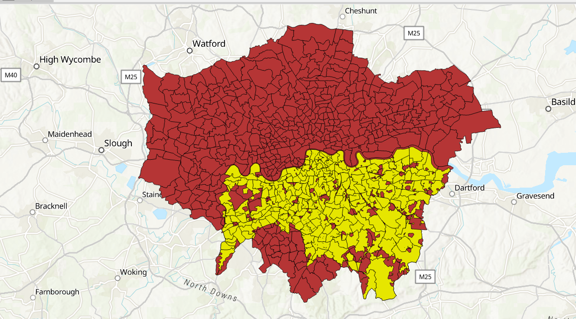
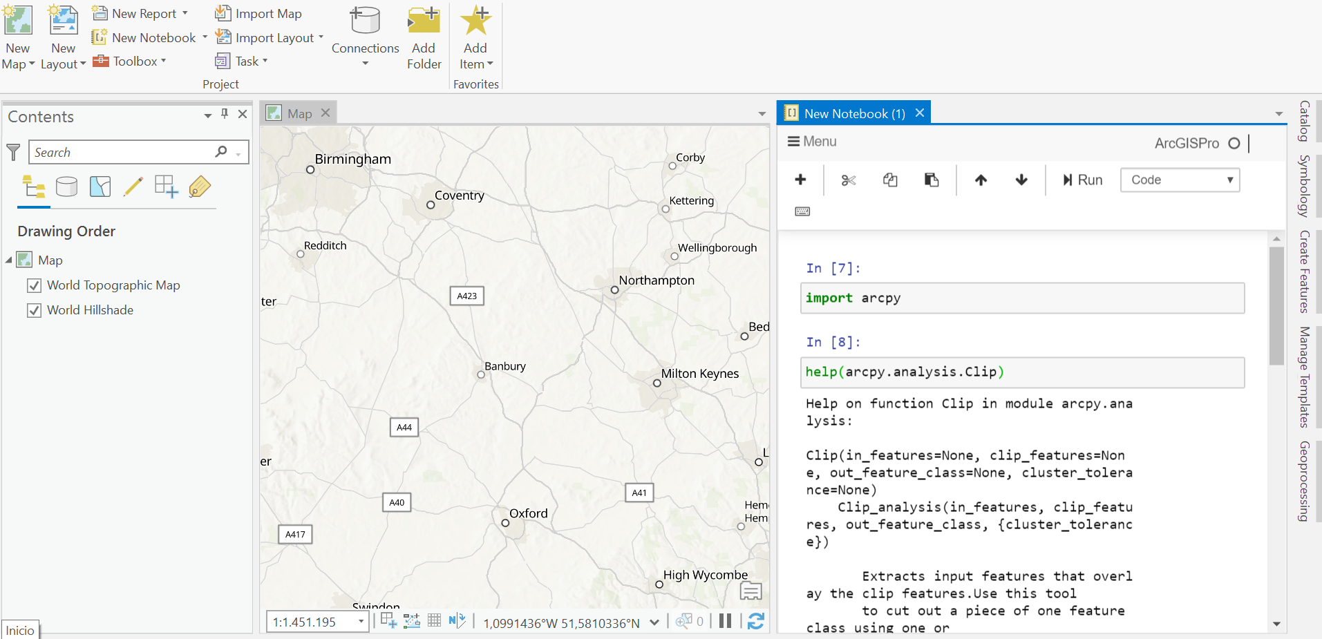
How to Clip Point and Polygon Features in ArcGIS Pro
This blog post explains how to use the Clip tool in ArcGIS Pro, using some example data. The Extract geoprocessing tools offers a set of filter tools to work with subsets of spatial data. Often, the tools require SQL expressions to select features and attributes in a...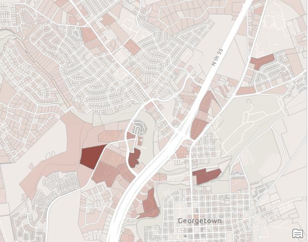
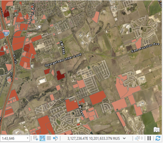
Varying Symbology by Attribute in ArcGIS Pro
In a recent article we discussed various techniques you can use to create graduated color maps in ArcGIS Pro. We primarily focused on the basics of creating choropleth maps in ArcGIS Pro suing the Primary Symbology tab on the Symbology pane. Today we’re going to...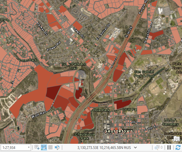
Creating Graduated Color Maps in ArcGIS Pro
In this article you’re going to learn how to create graduated color maps in ArcGIS Pro. ArcGIS Pro includes a lot of new functionality for creating choropleth maps and we’ll explore not only the basic options that have been used to create graduated color...