
Configuring ArcGIS Pro Options
Today’s video provided courtesy of Tripp Corbin of eGIS Associates. Upcoming ArcGIS Pro Classes. You can save up to 15% on any of these courses during the month of May, 2018. Learning ArcGIS Pro 2: Analysis, Automation, and Sharing August 29th –...ArcGIS Pro 2.x – Do you have enough computer horsepower?
Today’s video provided courtesy of Tripp Corbin of eGIS Associates. Upcoming ArcGIS Pro Classes. You can save up to 20% on any of these courses during the month of May, 2018. Learning ArcGIS Pro 1: Fundamentals May 22nd and 23rd – Live, Online...
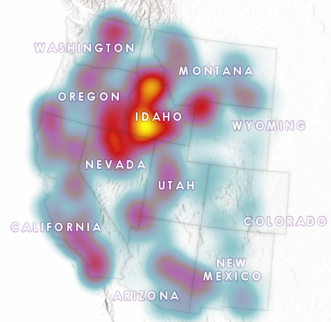
Visualizing the Surge in Large Wildfire Activity in the Western United States
The 2017 wildfire season shattered records and cost the U.S. Forest Service an unprecedented $2 billion. From the Oregon wildfires to late season fires in Montana, and the highly unusual timing of the California fires in December, it was a busy year in the Western...
