
Analyzing Wildfire Activity with Spatial Analytics – Part 3
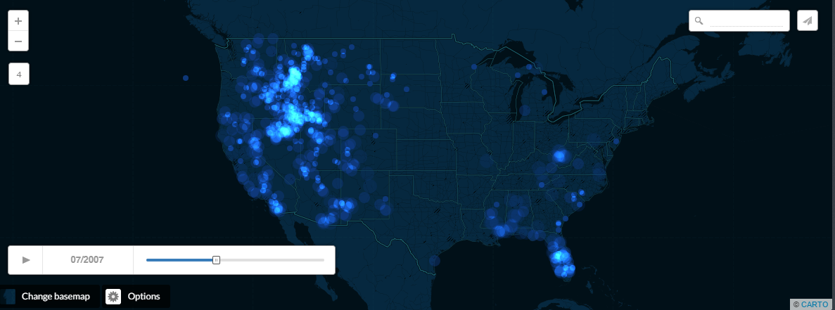
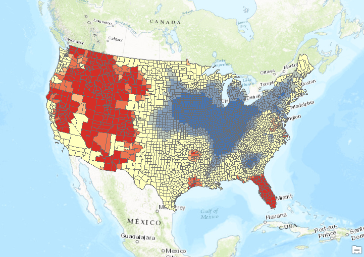
Read Part 1 Read Part 2 In the third installment of our series on analyzing wildfire activity using spatial analytics we’re going to examine the spatial distribution of human induced and naturally occurring wildfires throughout the United States. In the first...
Getting to Know GeoJSON
GeoJSON is a geospatial data format that has become quite popular in the last few years. This blog post discusses what GeoJSON is, how you can create it and some Esri tools that enable using the format. What is GeoJSON? The GeoJSON data format is a data format based...
Analyzing Wildfire Activity with Spatial Analytics – Part 2
Part 1 – Analyzing Wildfire Activity with Spatial Analytics In this post we’ll continue our analysis of wildfire activity using spatial analytics techniques. In part 1, we downloaded historical wildfire information for the years 2002-2016 from a USGS...