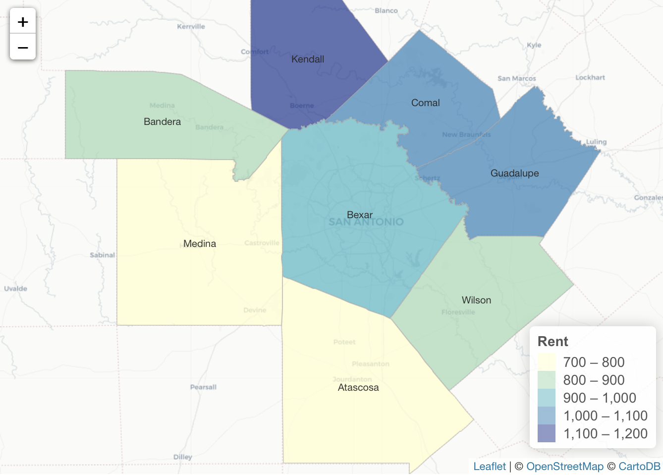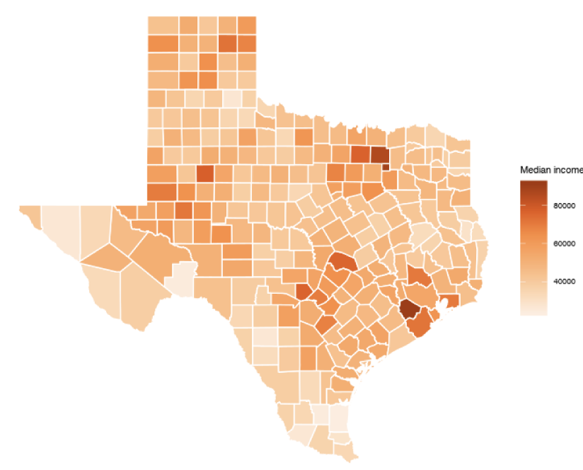
Exporting Census Data to Shapefiles with R
In a previous article you were introduced to using US Census data using the tidycensus R package. In that article you learned how easy it is to generate R datasets containing either decennial or American Community Survey (ACS) data and visualize that information as...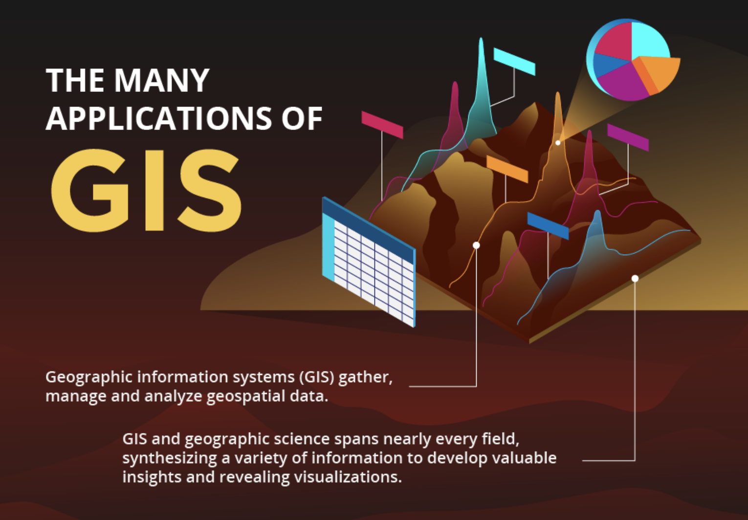
The Many Applications of GIS
Click to Enlarge Image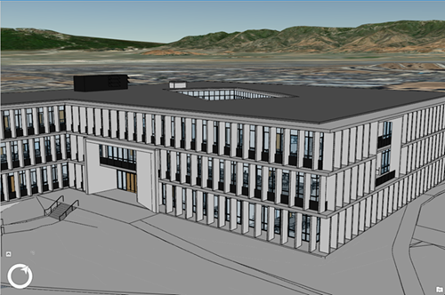
Building Scene Layers in ArcGIS Pro 2.3
With the release of ArcGIS Pro 2.3, Esri has introduced yet another 3D building content format that is targeted at the Architecture, Engineering, and Construction (AEC) market, in order to realize better GIS and BIM integration. What is a Building Scene Layer? Esri’s...