
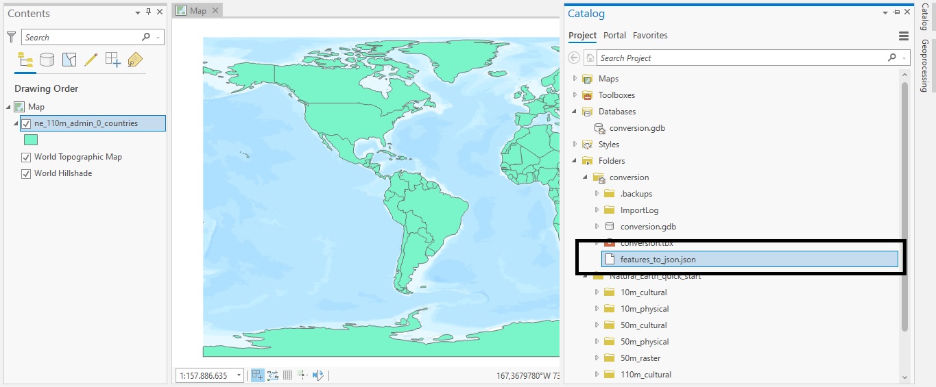
Tutorial: Converting Shapefiles to JSON with ArcGIS Pro
In this tutorial, we’ll cover how you can do data conversion with ArcGIS Pro’s Conversion toolset. Data conversion means that you will change data from one file format to another. This is often required when importing or exporting data out of Pro and use it in another...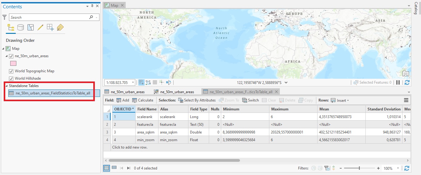
Tutorial: Introducing the Field Statistics to Table tool in ArcGIS Pro 2.9
In this tutorial, we’ll cover the Field Statistics to Table tool, that gives more flexibility to calculating field statistics from attribute table data. As the name suggests, the Field Statistics to Table tool creates a standalone table of descriptive statistics for...
Tutorial: Creating A Spatially Enabled DataFrame in ArcGIS Pro
In this tutorial, we’ll show how you can use a Spatially Enabled DataFrame (SDEF) in ArcGIS Pro to easily convert feature classes back and forth to pandas dataframes. Esri’s ArcGIS API for Python introduced the Spatially Enabled DataFrame, an object to manipulate...