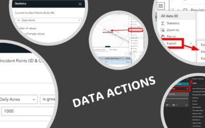
Click here to learn more and view our upcoming class schedule to participate in Experience Builder training. ArcGIS Experience Builder provides a powerful set of Data Actions that allow users to interact with data across multiple widgets. Data Actions are actions that...
Articles & Tutorials
What’s New in Experience Builder: February 2025
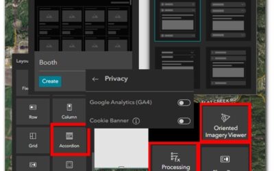
Click here to learn more and view our upcoming class schedule to participate in Experience Builder training. ArcGIS Experience Builder's latest update introduces a suite of enhancements designed to improve functionality, accessibility, and user experience. Here's an...
Style File Secrets: Expanding Your ArcGIS Pro Symbology Library
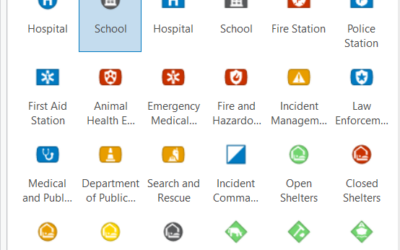
Introduction: The Power of Effective Symbology Symbology transforms raw spatial data into meaningful visual information. In ArcGIS Pro, the right symbols, colors, and patterns can dramatically improve how your audience interprets and understands your maps. Whether...
Why the Sidebar Instant App Should be in Your Geospatial Toolkit
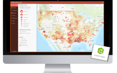
When it comes to geospatial applications, effective data presentation is paramount. Even more important is the ability to quickly create a simple application and then maintain it over time. ArcGIS Instant Apps offers a suite of simple templates designed to enhance...
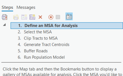
Mastering the Task Framework in ArcGIS Pro: A Guide to Workflow Automation
Now is the time to start leveraging the power of the Task Framework in ArcGIS Pro! Learn more about the Task Framework in our Geoprocessing Automation in ArcGIS Pro with Tasks class! Efficiency and consistency are crucial for managing complex GIS workflows. ArcGIS...
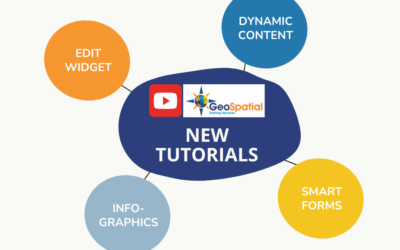
New Experience Builder Tutorial Videos: Edit Widget, Infographics, and more.
Discover how to configure the Edit Widget in Experience Builder while understanding the importance of Smart Forms and how you can design them from multiple locations. TUTORIAL: Configure the Edit Widget and Smart Forms Learn how to use Dynamic Content to pull and...
5 Reasons to Learn Python with ArcGIS Pro
Python is a powerful and versatile programming language that has become an integral part of modern Geographic Information Systems (GIS). ArcGIS Pro embraces Python as a core tool for automating workflows, performing complex analyses, and enhancing productivity. If...
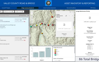
Widget Strategies for Data-Driven Dashboards in Experience Builder
Data-driven dashboards are interactive interfaces that allow users to visualize and analyze data in real-time. By integrating widgets effectively in Experience Builder, you can enhance interactivity, improve usability, and create visually compelling dashboards that...
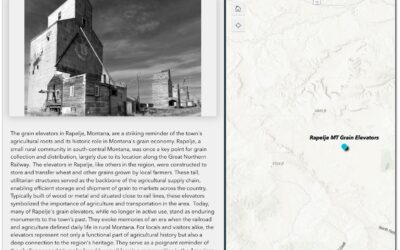
Widget-Driven Design for Storytelling with Experience Builder
Storytelling in GIS involves creating engaging narratives that link spatial data with visuals and meaningful insights. Experience Builder offers a range of widgets to help users design interactive, visually compelling applications for storytelling. In this tutorial,...
Using ArcGIS Pro’s Hot Spot Analysis Tool to Examine Population Change (2018–2023)
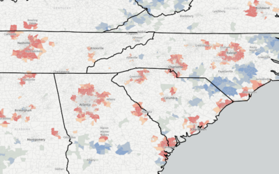
Don’t forget that you can save 20% on our self-paced, live-online, and in-person GIS training through December 31st by using the discount code 20for20. Discount already applied to the Annual GIS Training License. Population growth and decline are dynamic trends...

