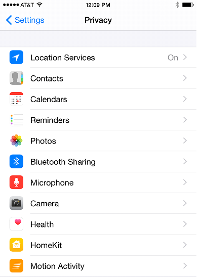
Our last post introduced you to Google Fusion Tables, and today we’ll take it one step further and actually upload some data to Google Fusion Tables and create some basic maps. In this post you’ll learn how to import your data to Google Fusion Tables and explore...
Articles & Tutorials
Bringing Data to Life with Google Fusion Tables
Google Fusion Tables is an excellent way to create and share visualizations of data in map, chart, and tabular formats. Today we’re starting a new series of blog posts designed to get you up to speed with using this fantastic platform. We’ll also be releasing a free...
Spanish Language Versions of our Courses Now Available
Spanish language versions of our courses are now available for select courses. For more information please visit our new website. Courses include: ArcGIS Desktop 101 GIS Programming 101 for ArcGIS 10 Open Source GIS Bootcamp Introduction to Programming the Google...
File Handling with Python for GIS Programmers
File handling with Python is a very important topic for GIS programmers. Text files have long been used as an interchange format for exchanging data between systems. They are simple, cross-platform, and easy to process. Comma and tab delimited text files are among...
Add Layers to ArcGIS Online from Zip,Text, and GPS Exchange Files
ArcGIS Online has enabled the capability for you to add layers from a file such as a shapefile compressed into a zip file, delimited text file (.txt or .csv), or a GPS Exchange file (.gpx) when creating a map using the free online map viewer. This allows even more...
Want to Build ArcGIS Server Applications without Programming?
The ArcGIS Server Viewer for Flex provides an excellent framework for creating web GIS applications without the need for programming experience! Anyone can build attractive, functional web applications with just a little knowledge of how the ArcGIS Server Viewer can...
2011 GIS Salary Survey Results
We had 731 respondents. Here are some of the highlights: 40% of respondents list their job titles as either GIS Analyst or GIS Technician. 16% are GIS Managers/Coordinators/Directors, and 6% GIS Developers/Programmers. 40% of respondents have 10 years of experience...
ESRI Renaming Products at ArcGIS 10.1
This is a guest post by Tripp Corbin, Vice President of GIS/IT at Keck & Wood, Inc. I know many folks are still running ArcGIS 9.3 and only beginning to think about moving to 10. Esri is not resting though. It is already planning for the release of 10.1 which will...
Working with the Popup Widget in the ArcGIS Server API for JavaScript
The new Popup widget, provided with the 2.3 release of the ArcGIS Server API for JavaScript can be used as a replacement for the default info window. This new widget provides an attractive alternative to the info window complete with navigation tools that allow you...
Using the Google Maps Elevation Service
The Google Elevation Service provides elevation data for points on the surface of the Earth as well as sampled elevation data along paths. The ElevationService object is used to communicate with the service. The process of obtaining elevation data about a location or...