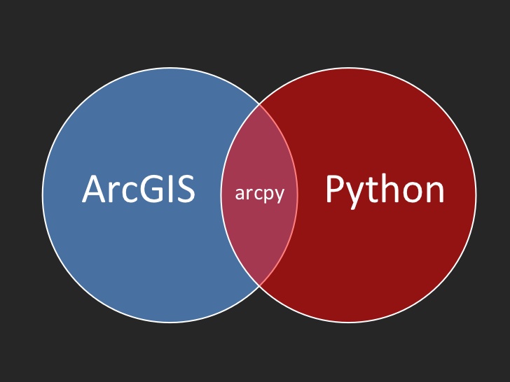

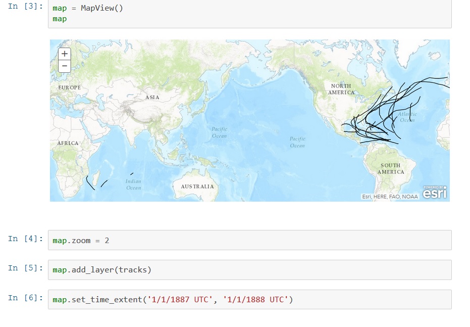
Introducing the ArcGIS Python API
Last June, Esri announced a new API called the ArcGIS Python API, that extends the power of Python over the web. This blog post describes what it is and how it can be used. By Eric van Rees What is the ArcGIS Python API? Esri has been offering support for Python, a...
Python in ArcGIS Pro 1.3: What’s New
Working with Python in ArcGIS Pro 1.3 will be different from earlier versions. From this new version, Esri will integrate the functionality of conda. This blog discusses how using Python is different to earlier versions and what is conda. By Eric van Rees ArcGIS Pro...
2 New Programming ArcGIS Pro with Python Classes
In January we will be releasing two new ArcGIS Pro classes: Introduction to Programming ArcGIS Pro with Python and Intermediate ArcGIS Pro Programming with Python. Starting in early 2017 we will begin offering these courses in Denver, Seattle, Portland, and...
San Antonio Property Data – Geoprocessing, Analysis, Mapping
Geospatial Training Services implemented a geoprocessing workflow for a local real estate company that processes monthly residential home sales information on a monthly basis and creates over 2000 reports on individual neighborhoods in the San Antonio metropolitan...