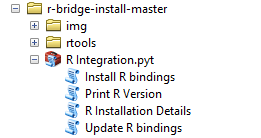
Getting Started with the ArcGIS-R Bridge
This blog post tells you how to install and get started with the ArcGIS-R bridge. Installing the ArcGIS-R bridge The installation for both ArcMap and ArcGIS Pro is pretty straightforward: after a clone or download from its GitHub repository, you can find detailed...
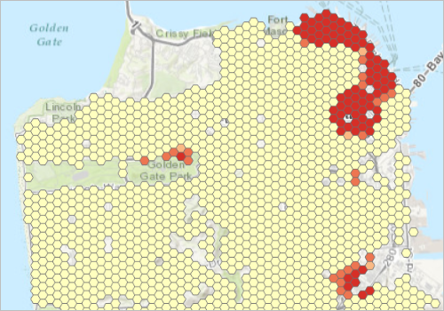
Mapping Clusters With ArcGIS – Free Book Chapter From Spatial Analytics In ArcGIS
Download your free book chapter Mapping Clusters with ArcGIS. You can also download the exercise data for this chapter. To install the exercise data, create a new folder structure called c:\GeospatialTraining\SpatialStats and then extract the exercise data to this...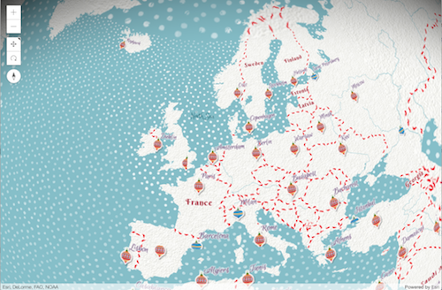
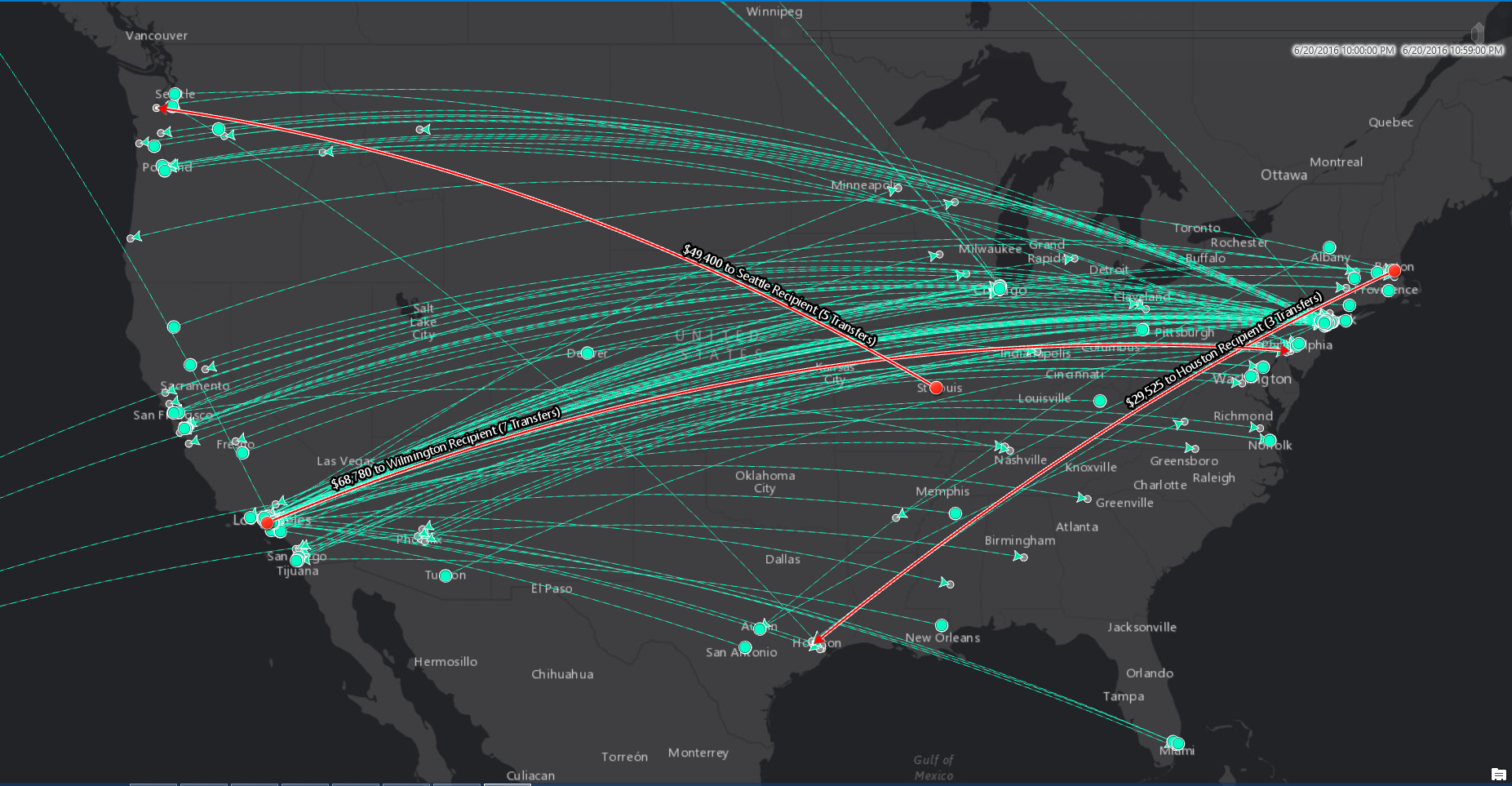
New Features in the ArcGIS JavaScript API 4.2
This blog post covers new features in the ArcGIS JavaScript API 4.2, released as part of ArcGIS 10.5. Discussed below are new widgets, smart mapping in 2D and 3D, vector tiles in 3D, support for the Arcade scripting language and more. Widgets Widgets are reusable...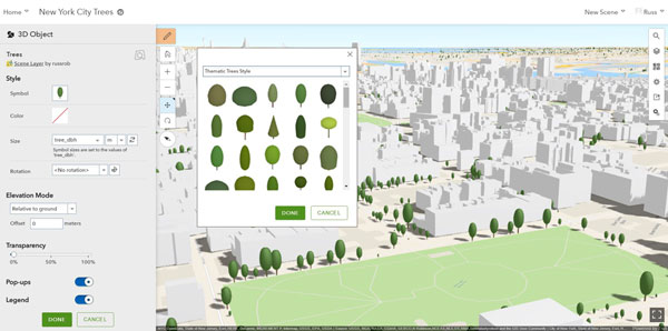
New Features in ArcGIS Online
This blog post covers a selection of what´s new in ArcGIS Online. The enhancements and new features have been released as part of the 10.5 release of ArcGIS. Map Viewer enhancements You can use the new Arcade scripting language in the map viewer, for example for...