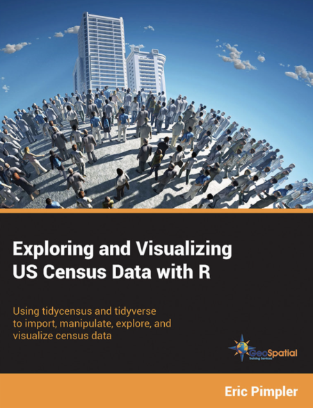
Free Download – Exploring and Visualizing US Census Data with R
My new book – Exploring and Visualizing US Census Data with R has been published. You can get a free copy of the digital version of this book simply by entering your email address. The book will be delivered to your email inbox as a link to a Dropbox download. You can...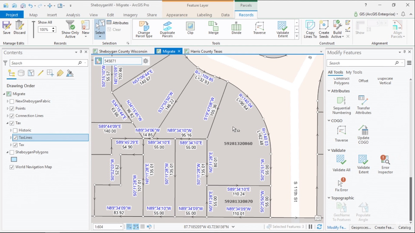
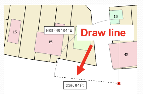
Managing, Editing and Sharing Parcel Data with ArcGIS Pro
ArcGIS Pro 2.4 now supports the Parcel Fabric framework for managing, editing and sharing parcel data. This article explains what the Parcel Fabric in Pro looks like and how it is different from the one in ArcMap. How to manage parcel data with ArcGIS Managing and...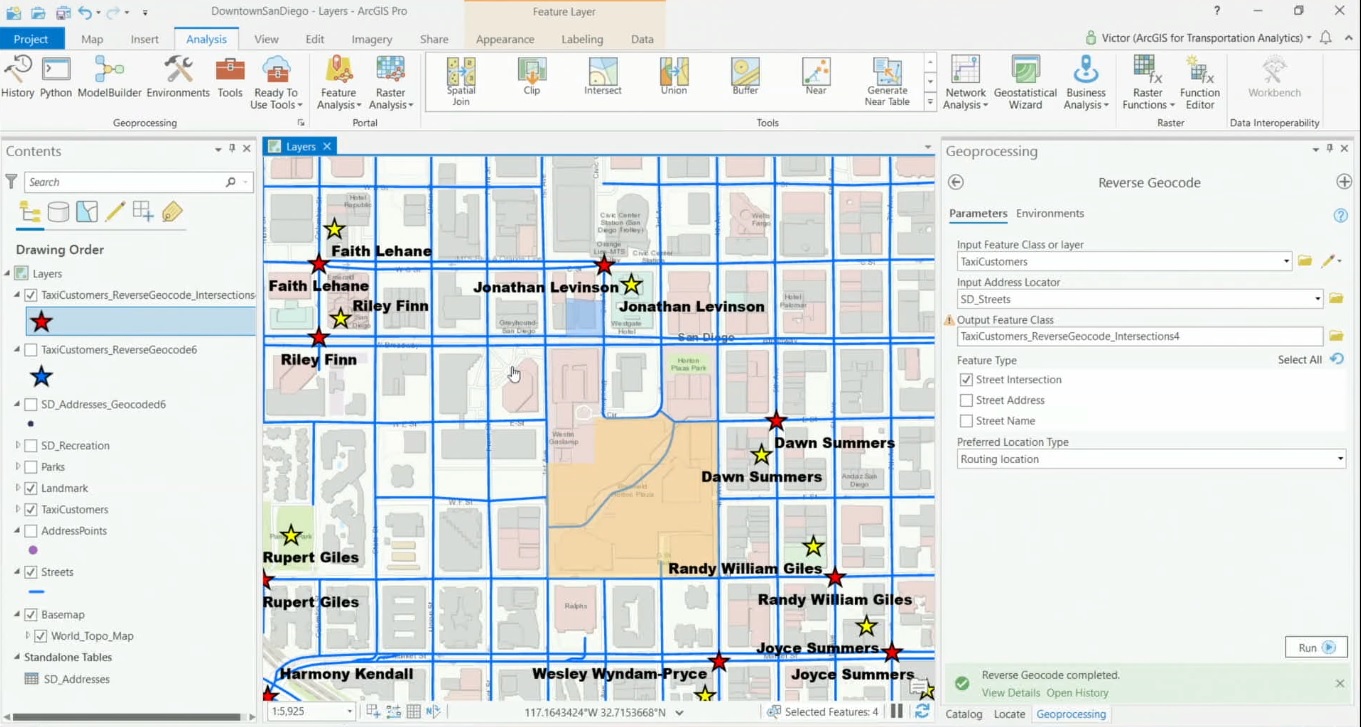
Geocoding in ArcGIS Pro
ArcGIS Pro offers a set of geoprocessing tools for translating addresses into locations and vice versa. User-defined tables and spreadsheets with many addresses can quickly be converted into points on a map from Pro’s content pane, while a geocoding service from...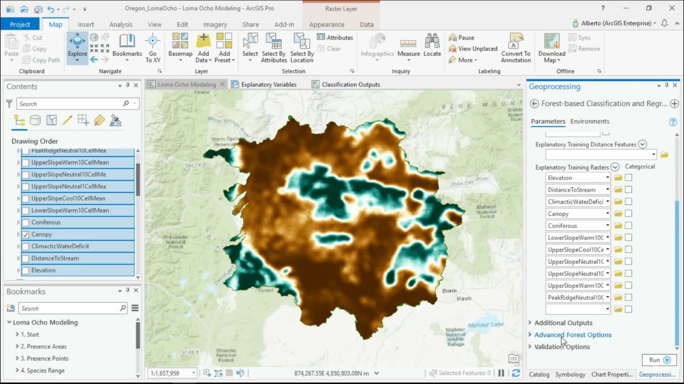
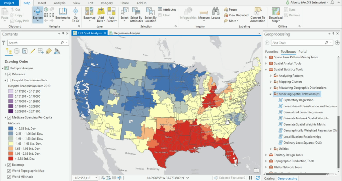
Spatial Machine Learning with ArcGIS Pro
Now that machine learning algorithms are available for everyone, they can be used to solve spatial problems. ArcGIS Pro offers different Spatial Machine Learning tools that enable classification, clustering and prediction of spatial data. Traditional Machine Learning...