

1400+ Addresses for Government ArcGIS Servers
Joseph Elfelt of MappingSupport.com has posted a new PDF file containing URLs for local, state, and federal ArcGIS Servers with open data. Here is the updated list: https://mappingsupport.com/p/surf_gis/list-federal-state-county-city-GIS-servers.pdf The primary...
600+ Federal, State, Local Open GIS Data Servers
Earlier this year, Joseph Elfelt of MappingSupport.com posted two pdf files with internet addresses for federal and state ArcGIS servers with open data. That work has now been combined into a single pdf file. In addition, internet addresses for various regional,...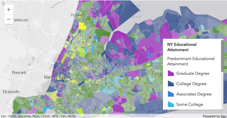
List of 150+ State GIS Servers with Open Data
Today’s post comes to us from Joseph Elfelt from MappingSupport.com. Last week Joseph presented his list of 50+ Federal GIS open servers. Both these lists are great resources! Below is a link to a PDF I put together with a list of state ArcGIS servers with open...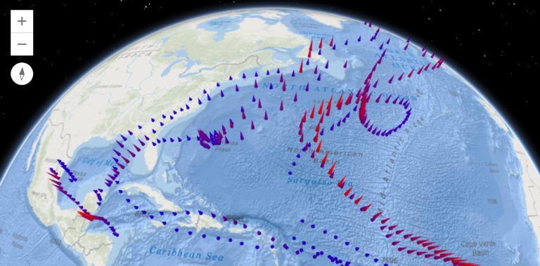
List of 50+ Federal GIS Servers with Open Data
Today’s post comes to us from Joseph Elfelt from MappingSupport.com. As a software developer in the field of online maps I am aware that the federal government operates various GIS servers with open data. Anyone with the right tech savvy can access that data. No...