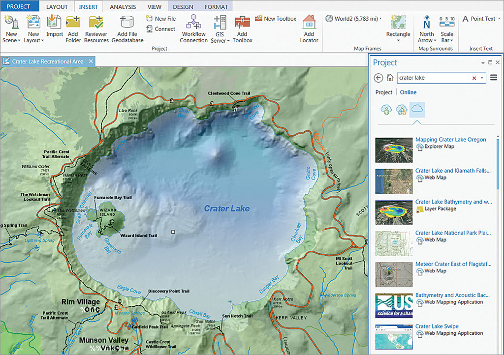
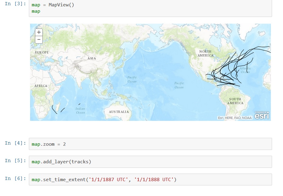
Introducing the ArcGIS Python API
Last June, Esri announced a new API called the ArcGIS Python API, that extends the power of Python over the web. This blog post describes what it is and how it can be used. By Eric van Rees What is the ArcGIS Python API? Esri has been offering support for Python, a...
Python in ArcGIS Pro 1.3: What’s New
Working with Python in ArcGIS Pro 1.3 will be different from earlier versions. From this new version, Esri will integrate the functionality of conda. This blog discusses how using Python is different to earlier versions and what is conda. By Eric van Rees ArcGIS Pro...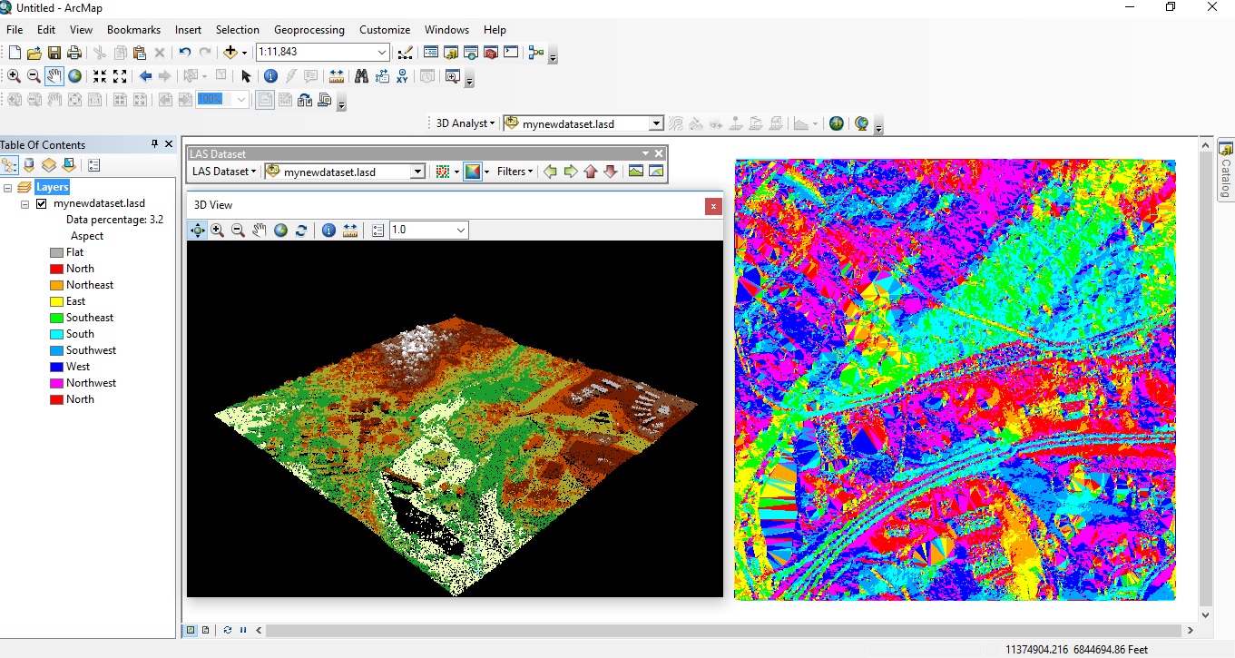
Displaying LiDAR Data in ArcGIS Desktop
Since the release of version 10.1, ArcGIS Desktop offers native support for LAS files, the industry-standard binary file format for storing airborne LiDAR data. Introduced in version 10.2.2 of ArcGIS Desktop, the LAS Dataset file is a new file format for storing...