
3 New Features of the ArcGIS API for Python
Late December of 2017, Esri released the 1.3 version of their ArcGIS API for Python. The release counts many new features and capabilities. Three of these are covered below: easier login to ArcGIS Online, a new module for data enrichment and an easier ways to save and...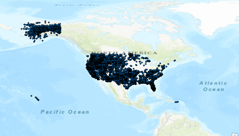
Tutorial: Creating a Pandas DataFrame from a Shapefile
ArcPy doesn´t have an option to export shapefile attribute tables to pandas DataFrame objects. Fortunately, there are number of workarounds available to make this happen. Pandas DataFrame objects are comparable to Excel spreadsheet or a relational database table. They...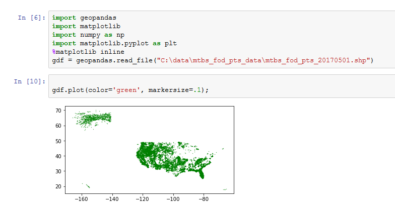
Getting to know GeoPandas
This blog post covers GeoPandas, a Python package that makes working with geospatial data easier. What is GeoPandas? GeoPandas is an open source project for working with geospatial data in Python. It is designed to work with existing tools, such as desktop GIS,...