
Leaving Los Angeles Flow Map
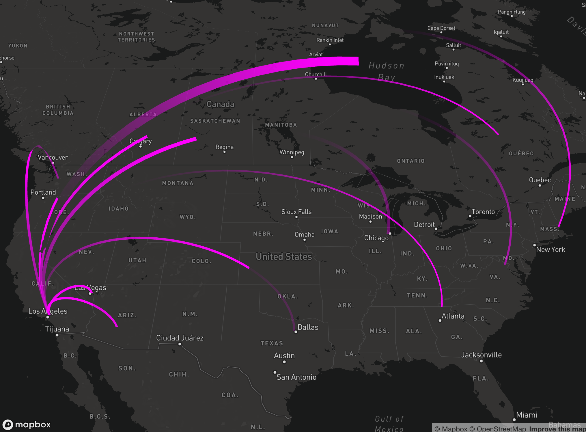
Flow maps, like the one you see below, provide a great way of visualizing the movement of variables between an origin and a destination. 2021 saw a 20% rise in movers for the year compared to 2020, with an estimated 56% of Americans moving in 2021 while just...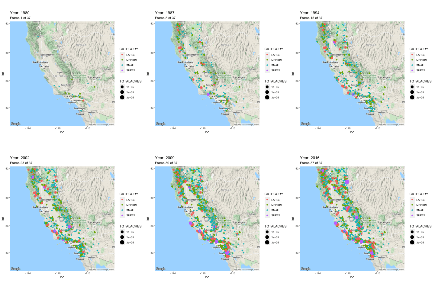
Creating Animated Maps with R
Animated maps, like the one you see below, provide a powerful enhancement to show how data evolves over time. In this tutorial you’ll learn how to use R with the ggmap, tidyverse, and gganimate libraries to produce animated maps like you see below. This animated...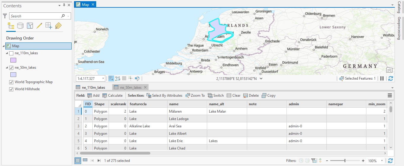
Tutorial: Combining Multiple Datasets into a New Dataset with ArcGIS Pro
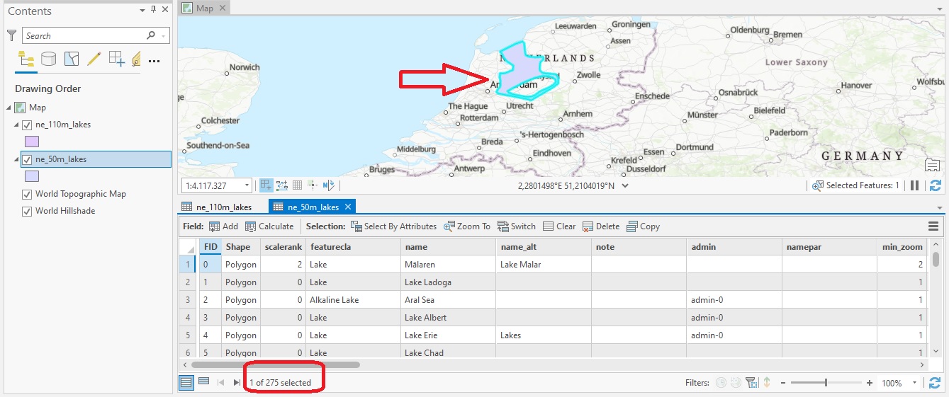
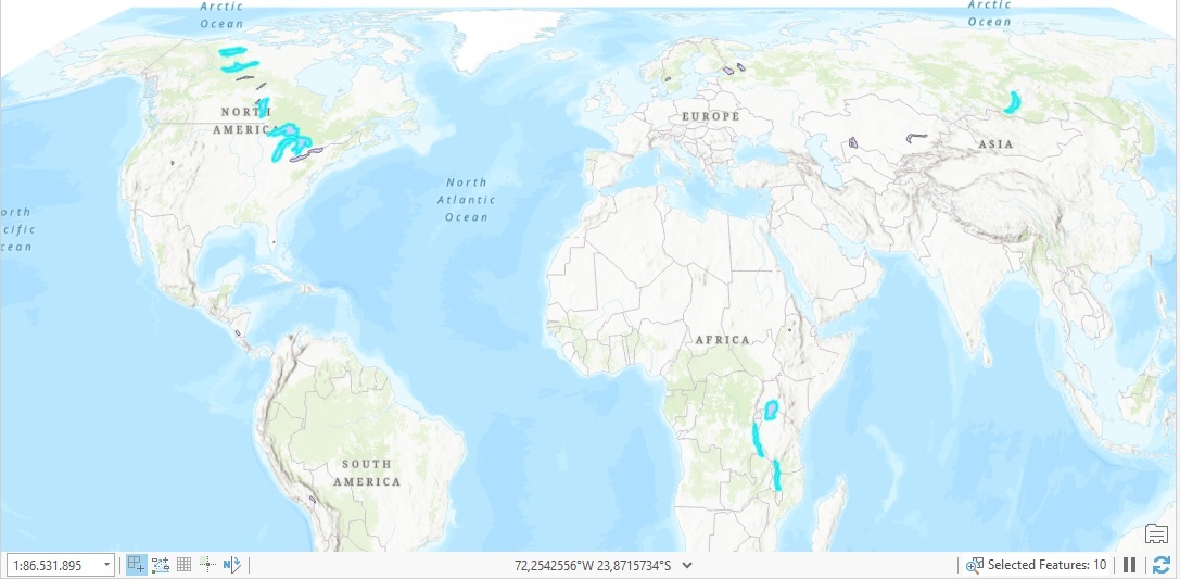
In this tutorial, you’ll learn how to combine multiple datasets into a new one using the Merge tool. In an earlier tutorial, you learned how to use the Append tool to add new data to an existing dataset. This would change the existing dataset, as new records would be...