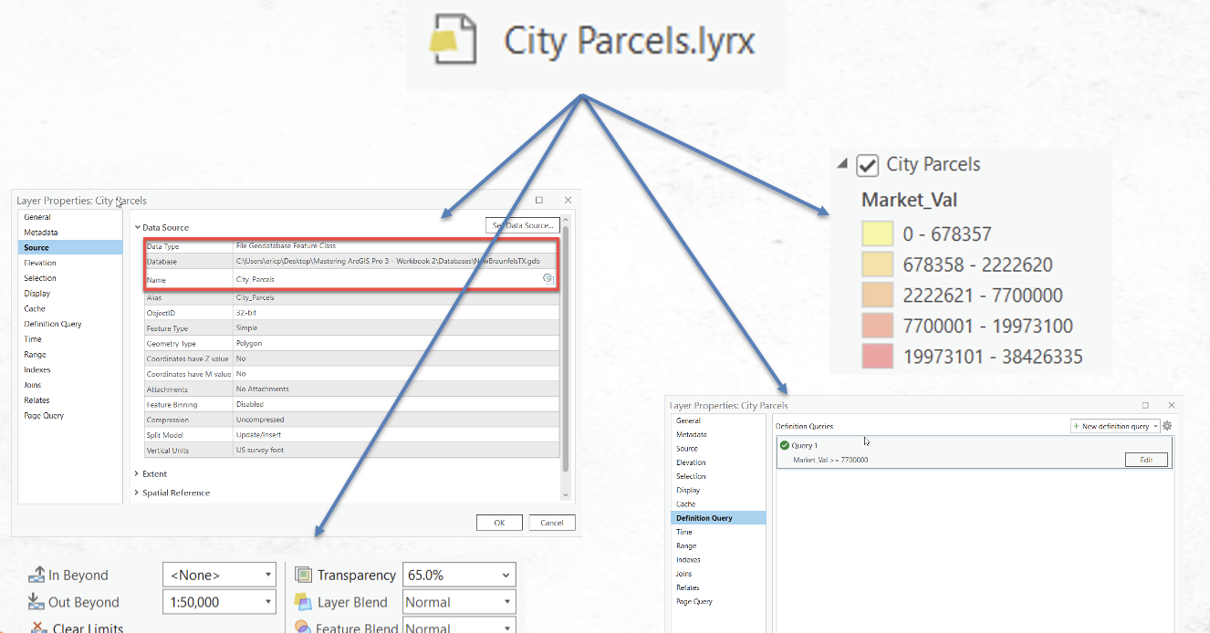
Understanding ArcGIS Pro Layer and Map Files
One of the more difficult aspects of getting up to speed with GIS software is the wide variety of data formats that can be used. Just to name a few we have two or three types of geodatabase including file and enterprise for ArcGIS Pro and a third, personal...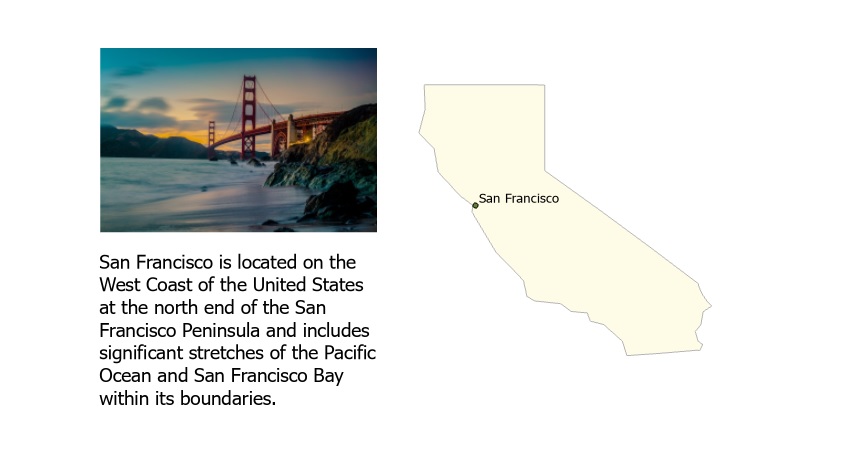
Tutorial: Working with a Graphics Layer
In this tutorial, we’ll be working with graphics layers using raster and vector data. We’ll create an example of a graphic layer to illustrate map features using text and imagery. What is a graphics layer? Graphics layers are layers that can contain graphics, such as...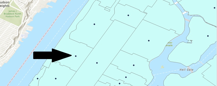
Tutorial: Finding the Geographic Center of a Polygon
This tutorial shows you how to find the center of a polygon using the Point to Feature geoprocessing tool. A real-life example shows why it is important to check the implications of using this tool. If you use point data with information about a surrounding area, you...