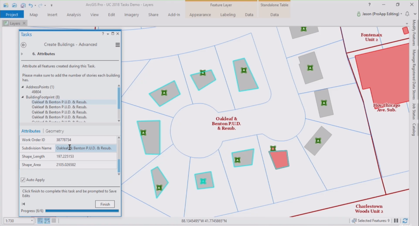
ArcGIS Pro introduced a new feature called tasks. This article explains how tasks can help ArcGIS Pro users to be more productive, as well as the different components that form a task. What is a task? Tasks are similar to wizards that guide a user through a software...
Articles & Tutorials
Modifying Existing Features and Attributes with ArcGIS Pro
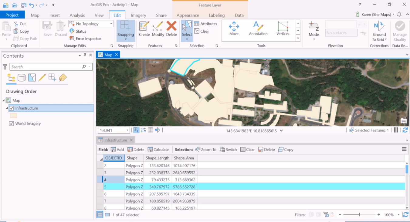
All tools for modifying existing features can be found in a single editing pane in ArcGIS Pro. Editing attribute information happens inside an attribute table, where geoprocessing tools can help you save time populating fields with attribute data. Tools for modifying...
Editing in ArcGIS Pro: Creating New Features
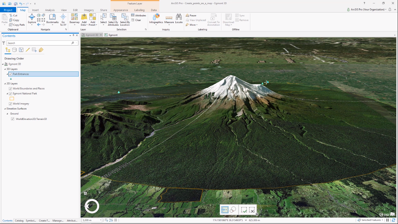
New point, line and polygon features can be created using ArcGIS Pro. Multiple construction menus assist the user to sketch new features in the map window, while tabs in the content pane enable control over which layers can or cannot be edited. Creating a new feature...
The Basics of Editing in ArcGIS Pro
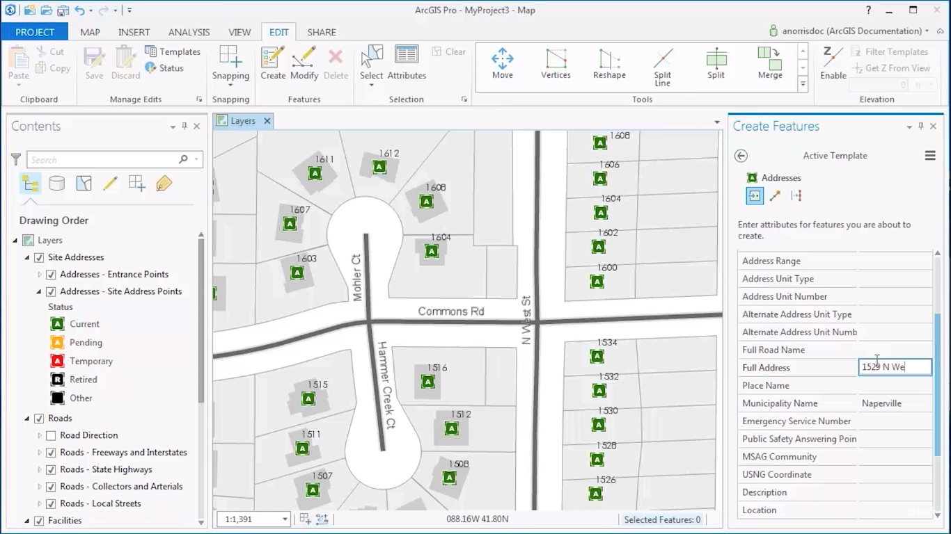
This article discusses what editing in ArcGIS Pro means and how editing functionality is different from ArcMap. What does editing mean in the context of ArcGIS Pro? The term “editing” in the context of ArcGIS Pro relates to changing the attribute information or...
ArcGIS Business Analyst for ArcGIS Pro
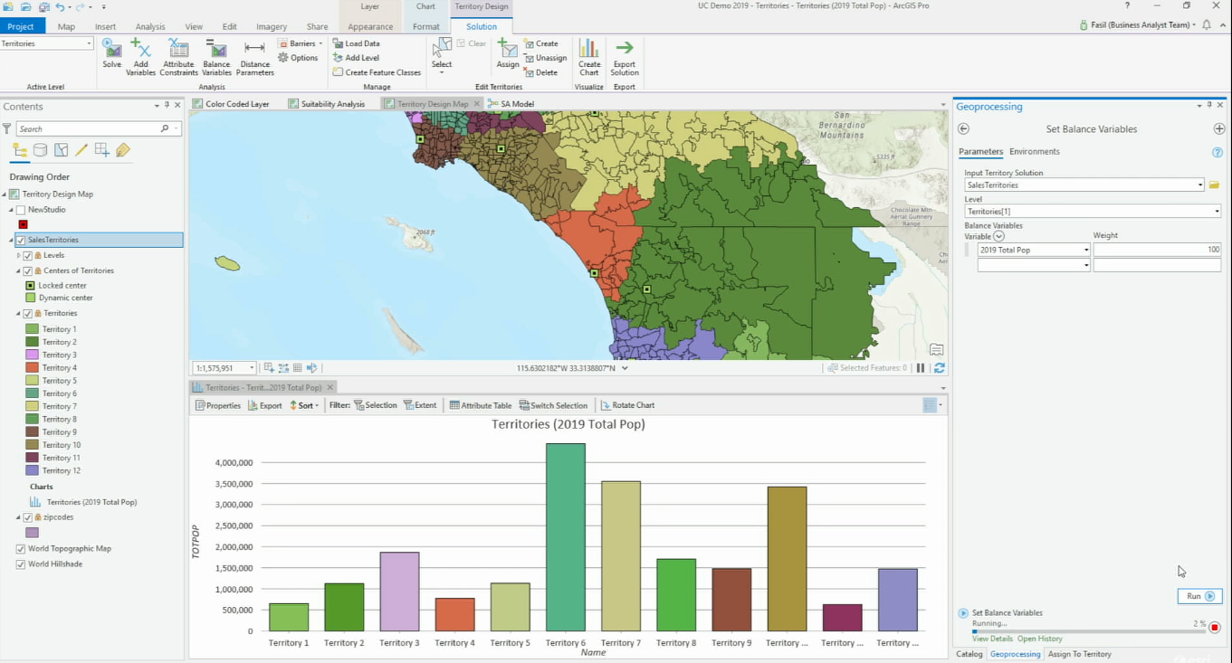
ArcGIS Business Analyst for ArcGIS Pro gives users access to location data and advanced spatial analytics techniques, that help businesses do market analysis and communicate the results inside their organization through infographics and reports. ArcGIS Business...
Bringing CAD Data into ArcGIS Pro
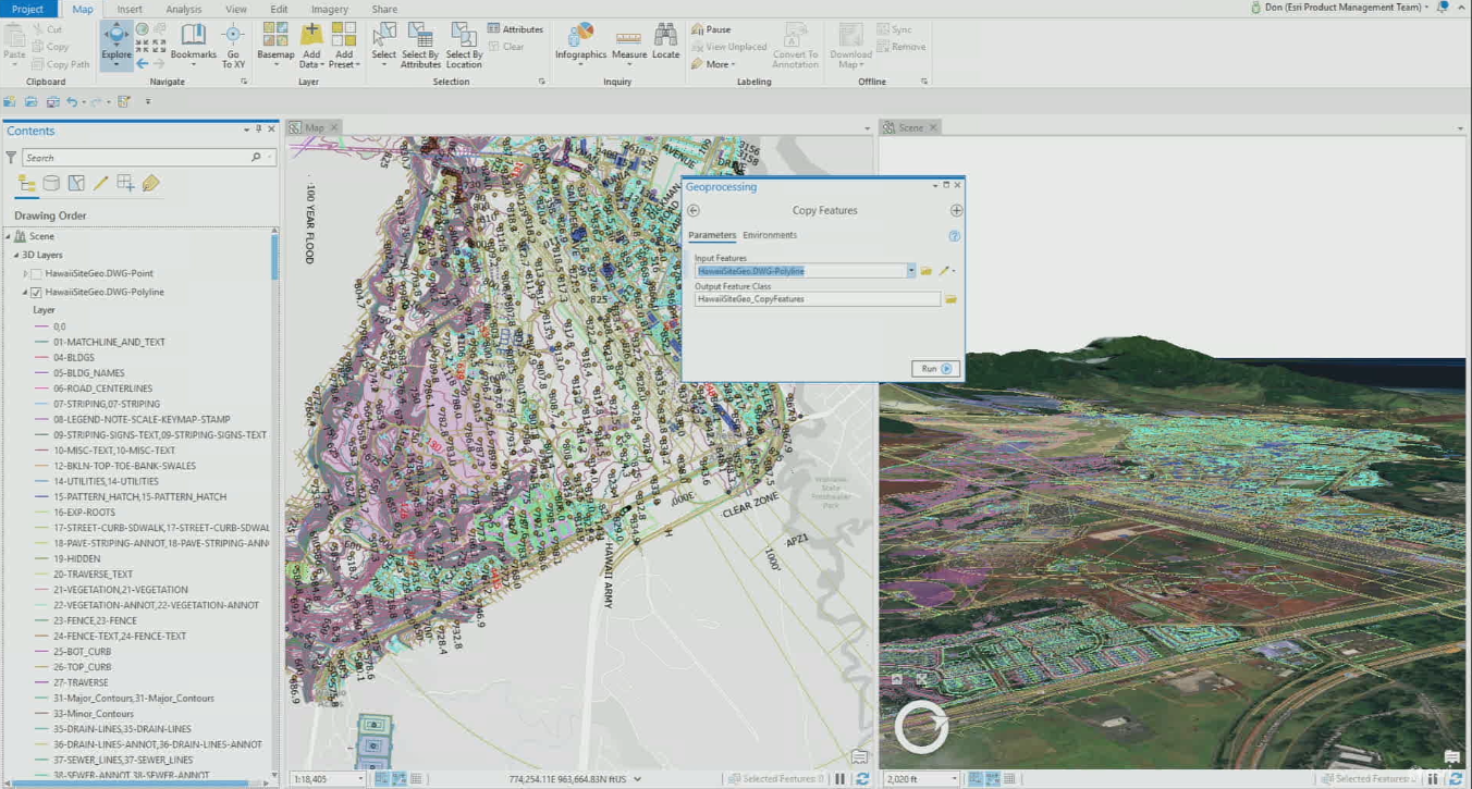
Esri developed various GIS AEC interoperability strategies to move data between different GIS and CAD applications. Currently, ArcGIS Pro can read AutoCAD and Revit data natively and will offer more support and functionality with future releases. In 2017, Esri and...
Modeling Spatial Relationships with ArcGIS Pro
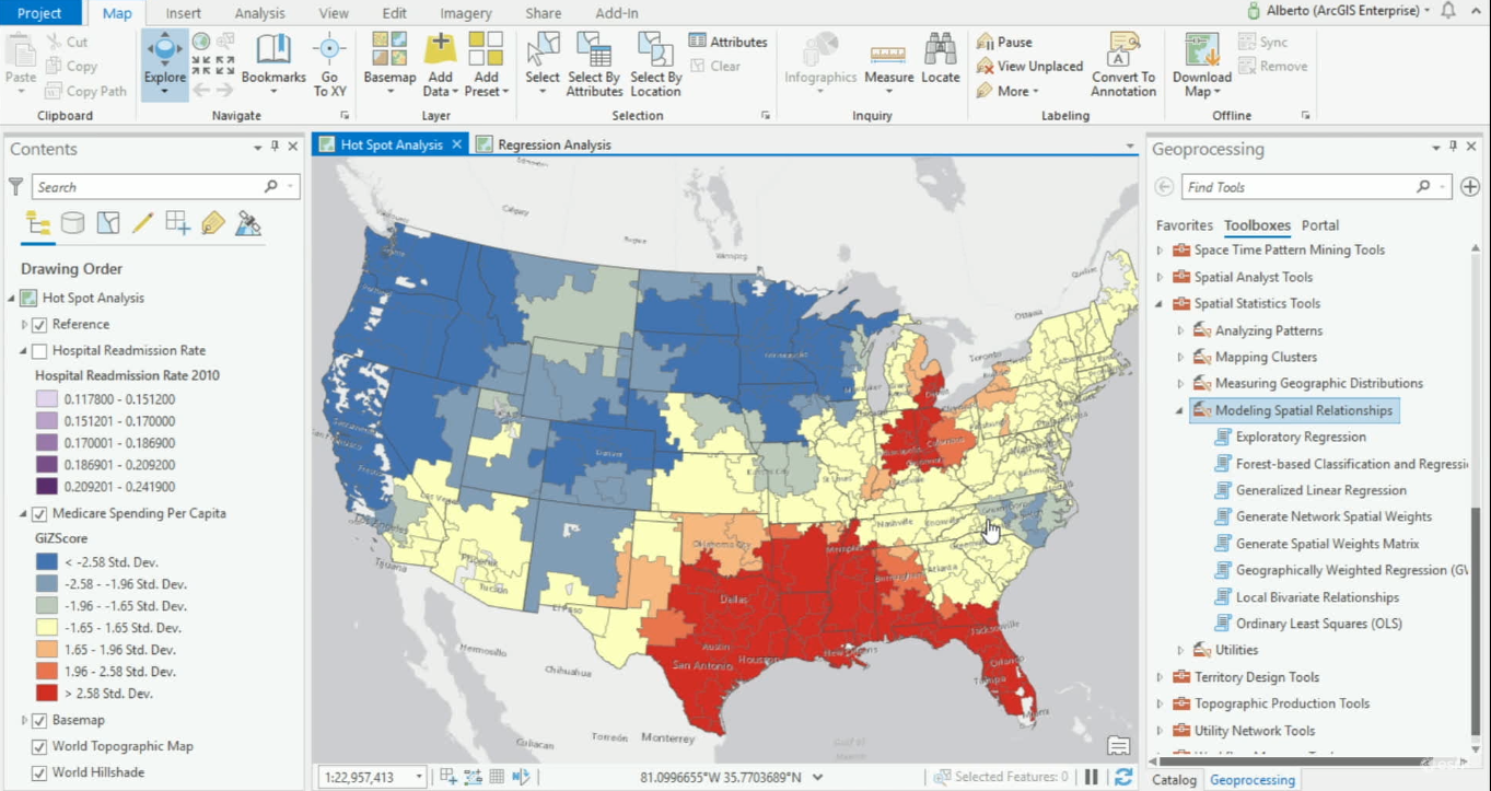
ArcGIS Pro offers various geoprocessing tools for modeling spatial relationships. ArcGIS Pro 2.4 offers one new tool for modeling spatial relationships and expands its Ordinary Least Square’s tool, now renamed Generalized Linear Regression tool. When variables are...
Free Download – Exploring and Visualizing US Census Data with R
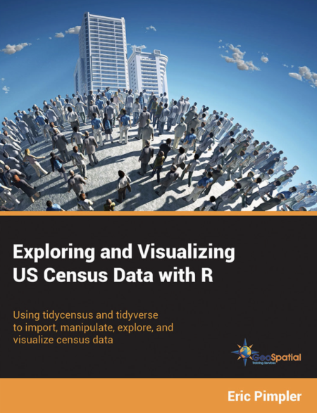
My new book – Exploring and Visualizing US Census Data with R has been published. You can get a free copy of the digital version of this book simply by entering your email address. The book will be delivered to your email inbox as a link to a Dropbox download. You can...
Managing, Editing and Sharing Parcel Data with ArcGIS Pro
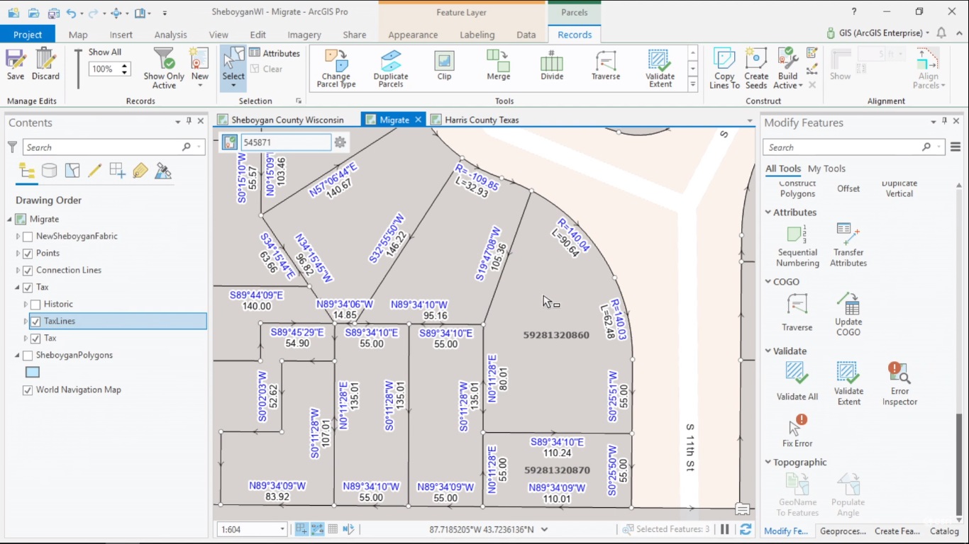
ArcGIS Pro 2.4 now supports the Parcel Fabric framework for managing, editing and sharing parcel data. This article explains what the Parcel Fabric in Pro looks like and how it is different from the one in ArcMap. How to manage parcel data with ArcGIS Managing and...
Geocoding in ArcGIS Pro
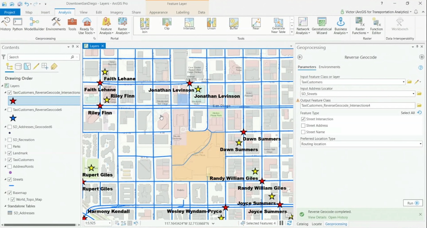
ArcGIS Pro offers a set of geoprocessing tools for translating addresses into locations and vice versa. User-defined tables and spreadsheets with many addresses can quickly be converted into points on a map from Pro’s content pane, while a geocoding service from...

