
First Impressions of the ArcGIS API for Python
Esri´s ArcGIS API for Python provides GIS users with a Python API for their Web GIS, whether that´s ArcGIS Online, ArcGIS Portal or ArcGIS Enterprise in the cloud. Esri describes the API as “a powerful, modern and easy to use Pythonic library to perform GIS...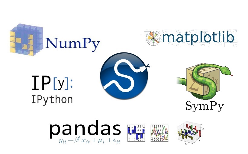
Getting to Know the SciPy Stack
This blog post introduces the Python packages that can be found in the SciPy stack, that is now shipped with ArcMap and available through Conda for ArcGIS Pro users. SciPy is a Python-based ecosystem of open-source software for mathematics, science, and engineering....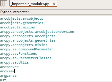
Managing Python Modules Locally without Conda
For ArcMap users, who cannot rely on Conda for Python package management because Python 2.7 is the default version used by ArcMap, installing and managing local Python packages can be a real challenge. This blog post covers some of the available tools that help you...
Getting Started with Conda for ArcGIS Users
Esri announced a number of Conda updates with regards to current and upcoming versions of ArcGIS Pro. Also covered in this blog are the functionality of Anaconda Navigator and Anaconda Cloud and how Esri plans to integrate both into upcoming versions of Pro. Conda and...