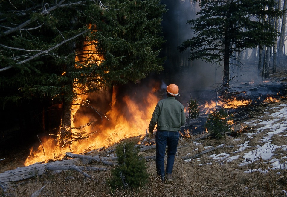

Part 1 – Analyzing Wildfire Activity with Spatial Analytics In this post we’ll continue our analysis of wildfire activity using spatial analytics techniques. In part 1, we downloaded historical wildfire information for the years 2002-2016 from a USGS...
Today’s post will be the first in a series designed to introduce the reader to a typical spatial analytics project using the Spatial Statistics toolbox in ArcGIS along with the R and Python programming languages. We’re going to apply various spatial...
Download your free book chapter Mapping Clusters with ArcGIS. You can also download the exercise data for this chapter. To install the exercise data, create a new folder structure called c:\GeospatialTraining\SpatialStats and then extract the exercise data to this...