
Introducing Arcade and the ArcGIS Python API
ArcGIS 10.5 introduced a new scripting language for the whole ArcGIS platform, as well as a Python API. Both are covered below. The Arcade scripting language Dynamic labeling and visualization has become a lot easier with the release of Arcade, a lightweight scripting...
Spatial Analytics with ArcGIS
My new book, Spatial Analytics with ArcGIS, is scheduled to be published in May 2017. Spatial statistics has the potential to provide insight that is not otherwise available through traditional GIS tools. This book is designed to introduce you to the use of spatial...
Understanding How ArcPy is Organized in ArcGIS
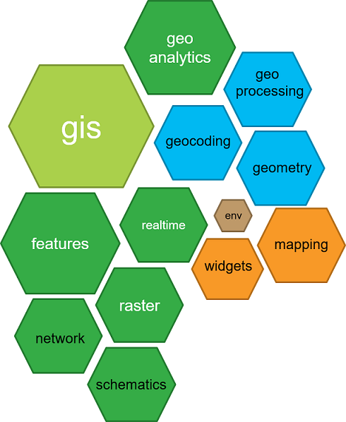
This blog post looks at how ArcPy is organized, in order to understand how Python deals with ArcGIS’ geospatial data and tools. Site packages vs modules ArcPy is a site package that allows for a close integration of ArcGIS and Python. Now, it is also often described...
Setting Up a Python Working Environment for ArcGIS Desktop
Although Python is installed automatically with each version above ArcGIS Desktop 10, setting up a working python environment for using the ArcPy site package can be a little cumbersome. This blog post offers some help with setting up the right environment and...