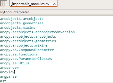
Managing Python Modules Locally without Conda
For ArcMap users, who cannot rely on Conda for Python package management because Python 2.7 is the default version used by ArcMap, installing and managing local Python packages can be a real challenge. This blog post covers some of the available tools that help you...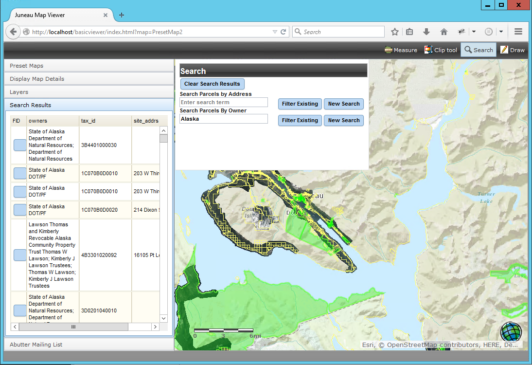
City of Juneau Parcel Viewer
The City and Borough of Juneau, Alaska contracted with Geospatial Training Services to build a public Parcel Viewer application. Parcel Viewer is a free online application that shows an aerial view of Juneau with each piece of property — the parcels — outlined in...
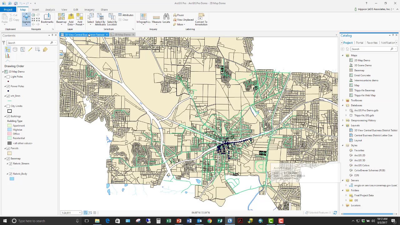
Getting Started with Conda for ArcGIS Users
Esri announced a number of Conda updates with regards to current and upcoming versions of ArcGIS Pro. Also covered in this blog are the functionality of Anaconda Navigator and Anaconda Cloud and how Esri plans to integrate both into upcoming versions of Pro. Conda and...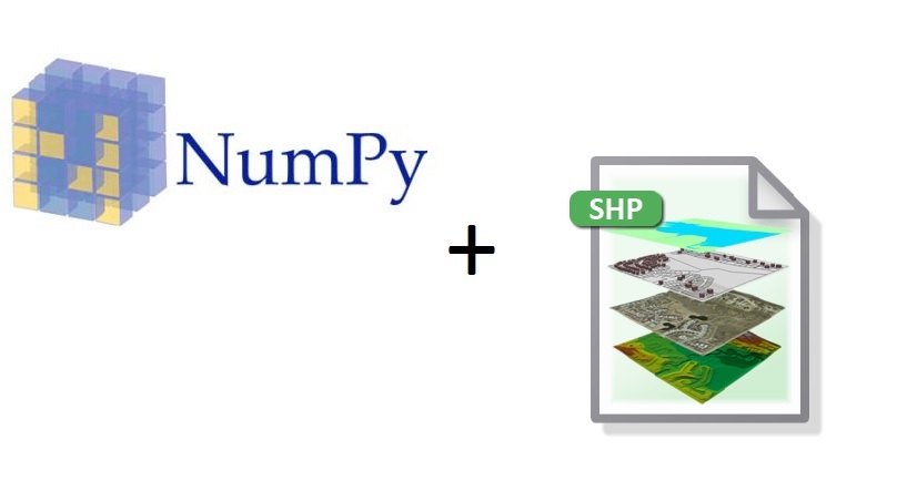
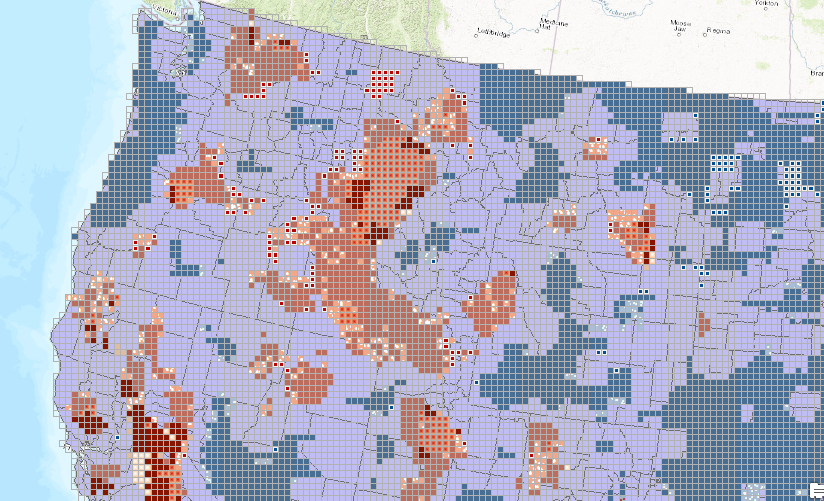
Getting Started with NumPy and Spatial Data
This is a short beginners tutorial for ArcGIS users who are interested in learning about basic NumPy functionality. It describes how to create a NumPy array from a shapefile and interact with the attribute table data inside of it, making simple data queries. The goal...