
Introducing the ArcGIS Python API
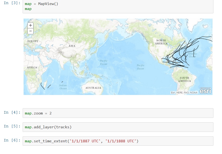
Last June, Esri announced a new API called the ArcGIS Python API, that extends the power of Python over the web. This blog post describes what it is and how it can be used. By Eric van Rees What is the ArcGIS Python API? Esri has been offering support for Python, a...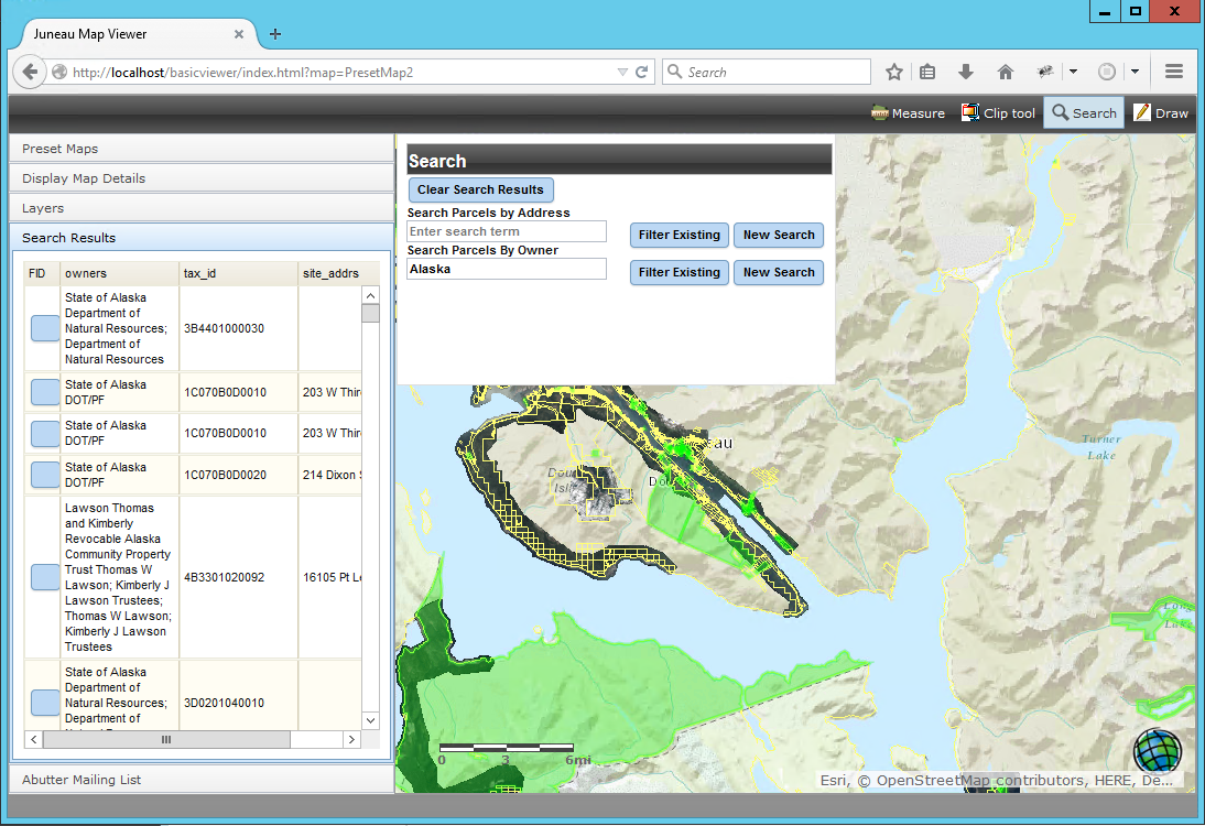
City of Juneau, AK Map Viewer
Geospatial Training Services developed an ArcGIS Server viewing application for the City of Juneau, Alaska that allows internal and external users to view imagery, streets, parcel boundaries, property structures including condos, manufactured homes, and cell phone...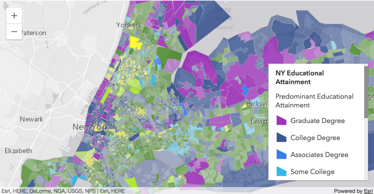
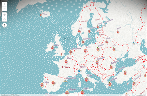
Widgets and the ArcGIS API for JavaScript 4.0
This blog post discusses how the new ArcGIS API for JavaScript 4.0 deals with widgets. What is a widget? Working with widgets is an essential part of the ArcGIS API for JavaScript. Esri calls widgets “the building blocks of the user interface”. But what is a widget...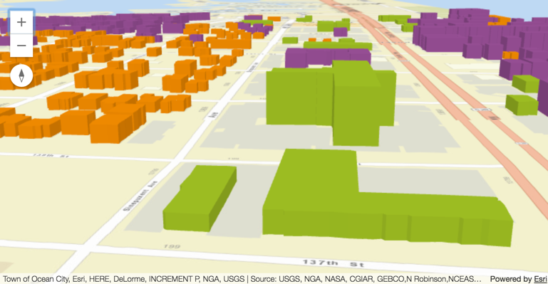
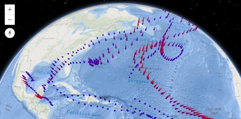
3D Support in the ArcGIS API for JavaScript 4.0
The new ArcGIS API for JavaScript 4.0 introduces 3D capabilities into the world of ArcGIS JavaScript development. This blog post describes the creation of 3D apps, maps views, objects, symbology and streams with the API. Incorporating Web Scenes The new ArcGIS API for...