Analyzing Wildfire Activity with Spatial Analytics – Part 2
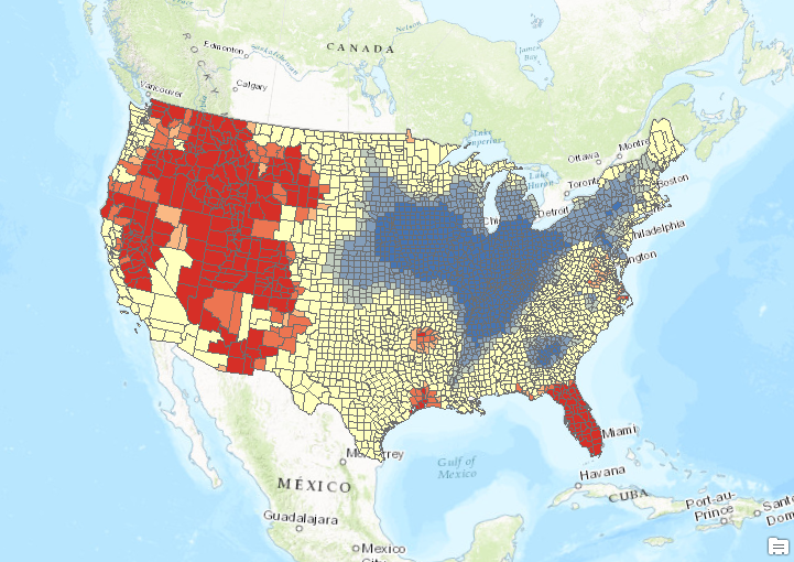
Part 1 – Analyzing Wildfire Activity with Spatial Analytics In this post we’ll continue our analysis of wildfire activity using spatial analytics techniques. In part 1, we downloaded historical wildfire information for the years 2002-2016 from a USGS...
Analyzing Wildfire Activity with Spatial Analytics – Part 1
Today’s post will be the first in a series designed to introduce the reader to a typical spatial analytics project using the Spatial Statistics toolbox in ArcGIS along with the R and Python programming languages. We’re going to apply various spatial...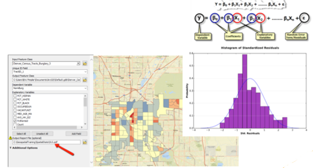
New Webinar – Introduction to Ordinary Least Squares Regression in ArcGIS
On Friday, May 26th we’ll be releasing a new recorded webinar entitled Introduction to Ordinary Least Squares Regression in ArcGIS. The OLS tool in the Spatial Statistics Toolbox of ArcGIS helps us determine the variables that explain why an observed pattern...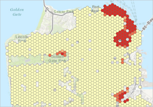
Esri and R Support: The Big Picture
This blog post covers Esri’s recent involvement in the open data science community and R in particular. Also covered is why R is so popular among statisticians, how the ArcGIS-R bridge can benefit ArcGIS users and the challenges that come with using R. Until 2015,...