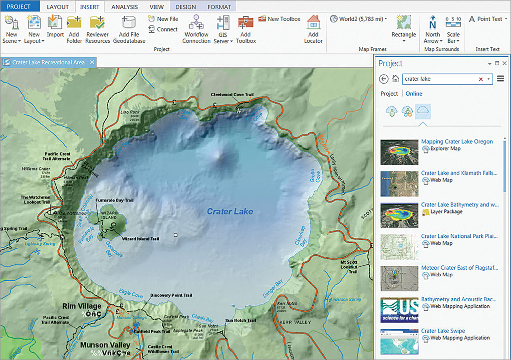
Using Imagery in ArcGIS Pro
ArcGIS Pro supports all present-day patterns of airborne and satellite imagery use. This blog post describes some of the improvements that have been made in Pro with regards to using imagery, enhancing the user experience. By Eric van Rees Satellite and airborne...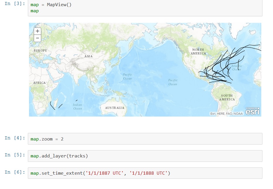
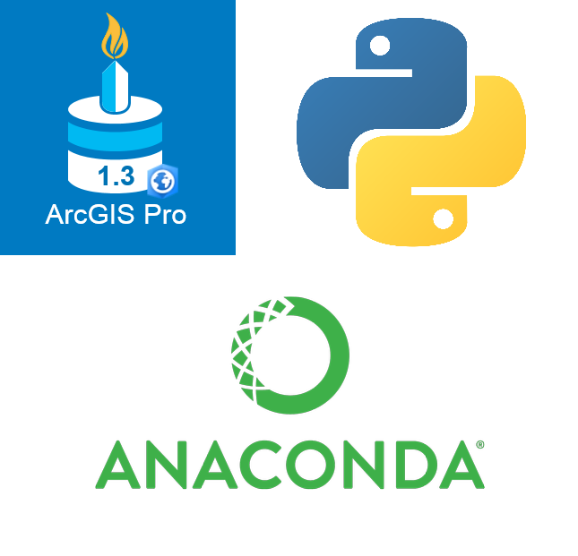
Introducing the ArcGIS Python API
Last June, Esri announced a new API called the ArcGIS Python API, that extends the power of Python over the web. This blog post describes what it is and how it can be used. By Eric van Rees What is the ArcGIS Python API? Esri has been offering support for Python, a...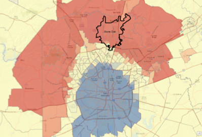
Webinar – Hot Spot Analysis with ArcGIS
Join us for a free webinar on Monday, November 21st. In this webinar we’ll cover the use of the Hot Spot Analysis tool in ArcGIS. The Hot Spot Analysis tool in ArcGIS examines features and their attributes to identify statistically significant hot spots...