

Introducing Spatially Enabled DataFrames
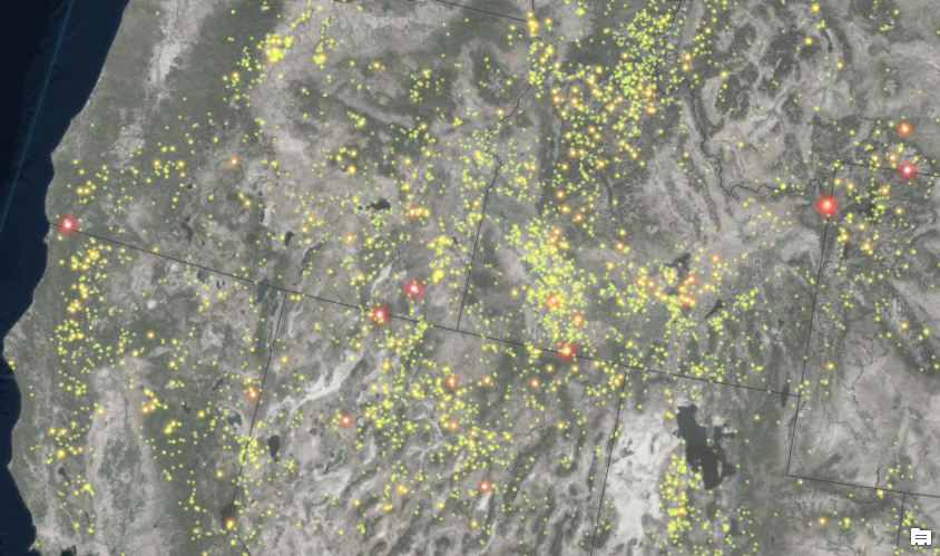
The new 1.5 release of the ArcGIS API for Python finally allows users to read spatial data as pandas DataFrame objects. As a result, manipulating geometric and attribute information of spatial data has become a lot easier. Although previous versions of Esri’s ArcGIS...Video: Adding Symbol Styles to ArcGIS Pro
ArcGIS Pro only loads a limited number of symbology styles which may not allow you to create the cartographically pleasing maps you wish. Have no fear. You can add more styles to ArcGIS Pro to increase your symbology selection. Upcoming ArcGIS Pro classes: Learning...New Book – Data Visualization and Exploration with R
My new book, Data Visualization and Exploration with R, is scheduled for publication on September 20th, 2018. Our newest class, Introduction to R for Data Visualization (Charts, Graphs, and Maps), is also based on this book. You can pre-order a digital version of the...
