Today's video provided courtesy of Tripp Corbin of eGIS Associates. Upcoming ArcGIS Pro Classes. You can save up to 20% on any of these courses during the month of May, 2018. Learning ArcGIS Pro 1: Fundamentals May 22nd and...
Articles & Tutorials
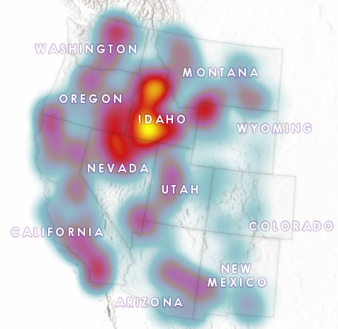
Visualizing the Surge in Large Wildfire Activity in the Western United States
The 2017 wildfire season shattered records and cost the U.S. Forest Service an unprecedented $2 billion. From the Oregon wildfires to late season fires in Montana, and the highly unusual timing of the California fires in December, it was a busy year in the Western...
How to Add GIS to your Data Science Skills
During our 14th Annual Anniversary Sale you can save up to 25% on GIS training. As we´ve seen in the first article, the future for data scientists looks bright. Here, we´ll cover how GIS technology can enhance the skillset of any data scientist. As discussed in the...
Become a Better Data Scientist with these GIS Skills
During our 14th Annual Anniversary Sale you can save up to 25% on GIS training. In the last article we discussed how data science skills can be linked to GIS technology. In this article, we’ll have a look at how GIS skills can improve your work as a data scientist. In...
600+ Federal, State, Local Open GIS Data Servers
Earlier this year, Joseph Elfelt of MappingSupport.com posted two pdf files with internet addresses for federal and state ArcGIS servers with open data. That work has now been combined into a single pdf file. In addition, internet addresses for various regional,...
Story Map – How to Choose Map Symbology
I wanted to pass along a nice article posted on LinkedIn by Alison Davis-Holland. Think cartography is all stats and science? Prepare to be surprised by the amount of psychology, art, design, culture, and communication involved in map making and how to choose...
New Video – Creating Map Books using Map Series in ArcGIS Pro
Learn how to use the Map Series function in ArcGIS Pro. Map Series allows you to create map books and atlases using ArcGIS Pro. This is very similar to the Data Driven Pages functionality found in ArcMap. https://youtu.be/emlb7AXuM5o
April Sale
During the month of April you can save $100 on our upcoming live training classes. This includes our live-online classes as well as many of our classroom events. To take advantage of this offer, enter the discount code 'april' when checking out online. This offer...
Importing ArcMap MXD Files into ArcGIS Pro Projects
How to Add Data Science to your GIS Skills
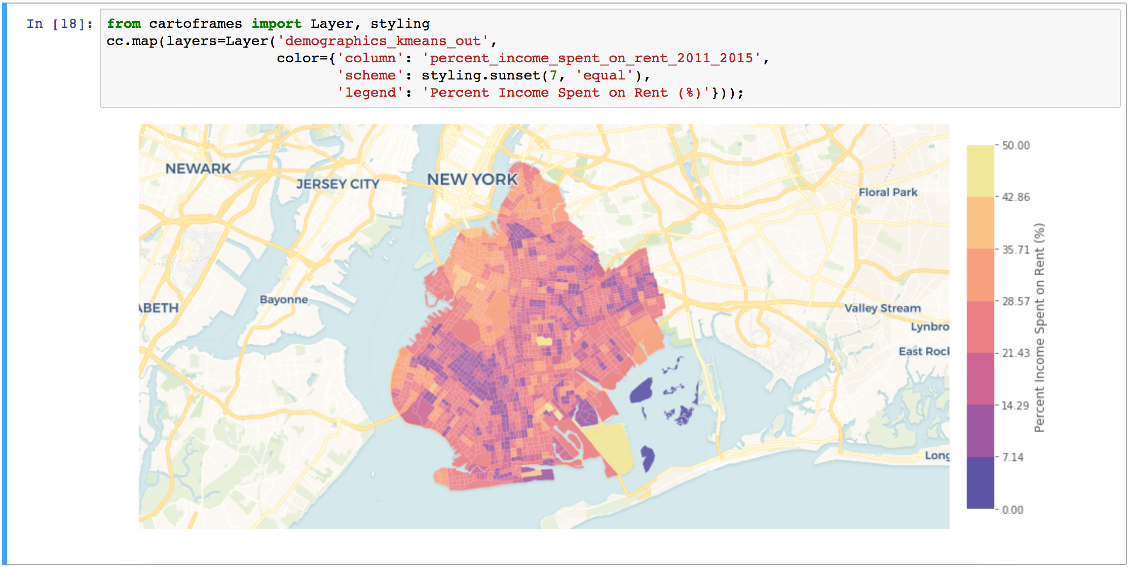
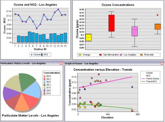
GIS professionals interested in data science can start their journey into this field by exploring various spatial data analysist tools offered by ArcGIS and learning how to code. Current GIS software offers many tools that fall into the data science category. As such,...


