Joseph Elfelt of MappingSupport.com has posted a new PDF file containing URLs for local, state, and federal ArcGIS Servers with open data. Here is the updated list: https://mappingsupport.com/p/surf_gis/list-federal-state-county-city-GIS-servers.pdf The primary...
Articles & Tutorials
Zillow Local Market Rental Overview Application
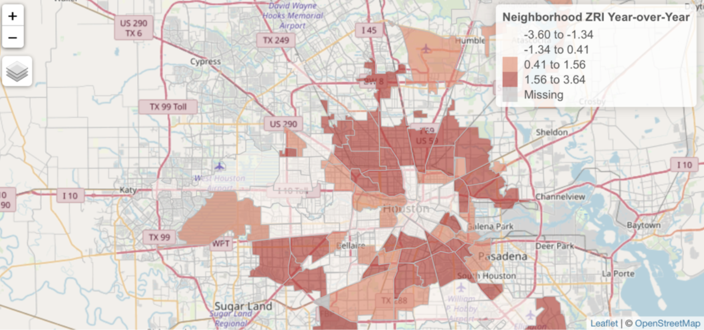
Head over to our sister site - Location3x - and check out a sample application that we built with Shiny and R. The Zillow Market Overview: Rentals application is a dynamic web application that illustrates the visualization capabilities provided by the Shiny - R...
Editing Data in ArcGIS Pro – Using basic distance and direction tools to create line segments
This video demonstrates how to create simple line segments at specific distances and directions while editing data in ArcGIS Pro. https://youtu.be/lN9l-GUTk-E Upcoming ArcGIS Pro Classes Learning ArcGIS Pro 1: Maps and Projects Learning ArcGIS Pro 2: Editing,...
Save 15% on Annual GIS Training During February 2019
During the month of February you can save 15% on any Annual GIS Training License. Our Annual GIS Training License gives organizations of all sizes 24×7 access to 40 of our self-paced online GIS training classes. The Annual GIS Training License is available for...
ArcGIS Pro 2.3 Released – What’s New?
Esri just released an update for ArcGIS Pro. This new version, 2.3, contains a wealth of improvements, I think you will like. Just to mention a few: Now you can open a new blank project without a template. This means all those project files that normally are created...
GISP Certification Experience Points
Continuing our GISP Certification series, this video discusses how to fill out the experience portion of the GISP portfolio and calculate your points. If you are not familiar with the GISP Certification process, we recommend you watch our previous video in this series...
ArcGIS Arcade – The GIS Language You Probably Haven’t Learned but Definitely Should
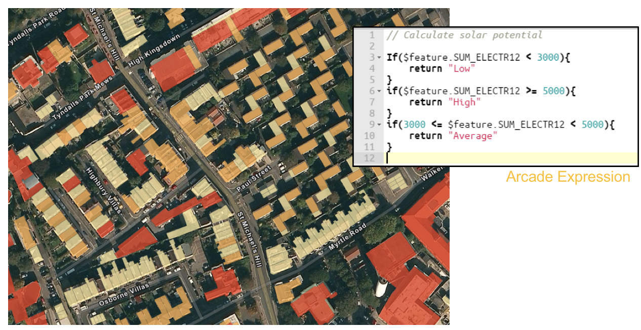
While the ArcGIS Arcade language has been around for awhile now most GIS professionals haven't yet taken the time to examine how this simple expression language can be used to dynamically produce content and visualization for both ArcGIS Pro and ArcGIS Online. Arcade...
ArcGIS Pro Tip: Using Project Favorites
ArcGIS Pro introduced the usage of project files, which allow you to assemble all the resources required to complete a project in one place. A project, stored in a file with an extension of .aprx, can contain maps, layouts, tasks, and connections to servers,...
GISP Certification – The Basics of How to Earn It
Are you looking at the GISP certification? This video will help explain the basic requirements needed to earn this certification from the GIS Certification Institute. Look for future videos about the specifics required for the portfolio and exam process. Lastly make...
You Can Still Save 10% on GIS Training through December 31st
Our 15th annual holiday sale is ending December 31st. You can still save up 10% on any GIS training that we provide including our Annual GIS Training License and any of our live training events. Simply use the discount code ‘holiday‘ when checking out online to apply...

