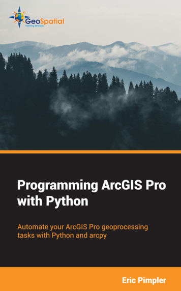
Programming ArcGIS Pro with Python, has been published in digital format and printed paperback versions.
$39.00 Digital Version
$44.00 Printed Paperback Version
Note: A new version of PyCharm has been released since this book was published. The method used to configure PyCharm for use with ArcGIS Pro and Python has changed as well with this new release. Rather than following the instructions provided in Exercise 1 of Chapter 1 in the book, please download and use this set of instructions in place of Exercise 1.
If you try to copy and paste the link to the exercise data download into your browser from the digital version of the book you may experience a problem due to extra spaces in the URL. You can use either of the links below:
https://www.dropbox.com/s/5l5glsmq1gbo7f1/ProgrammingPro.zip?dl=0
http://s3.amazonaws.com/VirtualGISClassroom/IntroProgrammingArcGISProPython/IntroArcPro.zip
Learn how to automate your ArcGIS Pro geoprocessing tasks using Python.
Chapters include:
Chapter 1: Introduction to the Python Programming Language
Chapter 2: Introduction to using Arcpy in ArcGIS Pro
Chapter 3: Executing Geoprocessing Tools from Scripts
Chapter 4: Using the Arcpy Mapping Module to Manage Projects, Maps, Layers, and Tables
Chapter 5: Managing Layouts
Chapter 6: Automating Map Production
Chapter 7: Updating and Fixing Data Sources
Chapter 8: Querying and Selecting Data
Chapter 9: Using the Arcpy Data Access Module
Chapter 10: Creating Custom Geoprocessing Tools
What this book will do for you….
- Learn the fundamentals of the Python programming language
- Learn how to create variables and assign data.
- Use strings, numbers, lists, tuples, dictionaries, and objects
- Use decision support and looping structures
- Add error handling structures
- Understand arcpy, the arcpy data access module and arcpy mapping modules
- Install, configure, and use PyCharm for writing scripts
- Execute geoprocessing tools from your scripts
- Use the arcpy mapping module to manage your project files, layer files, and the data within them
- Programmatically add and remove layers and tables.
- Symbolize your layers
- Find and fix broken data links
- Automate map production through the use of map series and arcpy
- Work with the camera to programmatically alter the display of 3D scenes
- Query and select data from feature classes and tables
- Use the arcpy data access module to insert, update, and delete records in feature classes and tables
- Create custom geoprocessing tools in custom Python toolboxes
- Much more!
This hands on exercise book starts with an overview of the Python 3.x language. You’ll learn the basic constructs of this powerful, easy to learn language for automating your ArcGIS Pro geoprocessing tasks. You’ll also learn how to install, configure, and write scripts using the popular PyCharm development environment.
We’ll then dive into the details of the ArcGIS Pro arcpy module by learning how to execute geoprocessing tools from your scripts. From there you’ll learn how to manage project and layer files, and manage the data within those files. You’ll discover how to programmatically add, insert, remove, and move layers in table of contents.
Next, you’ll learn how to apply symbology and update properties of layers, work with 2D and 3D display properties, and manage layouts. You’ll also learn how to automate map production through the use of map series functionality, formerly called map books.
The later part of the books covers attribute and spatial queries, and the creation of selection sets for feature classes and tables along with the arcpy data access module for insert, updating, and deleting data from feature classes and tables. Finally, we’ll close the book by discovering how you can create your own custom geoprocessing tools using custom toolboxes with ArcGIS Pro and Python.
Other books include:
Programming ArcGIS with Python Cookbook
Spatial Analytics with ArcGIS
ArcGIS Blueprints
Building Web and Mobile ArcGIS Server Applications
Classes on this topic:


