
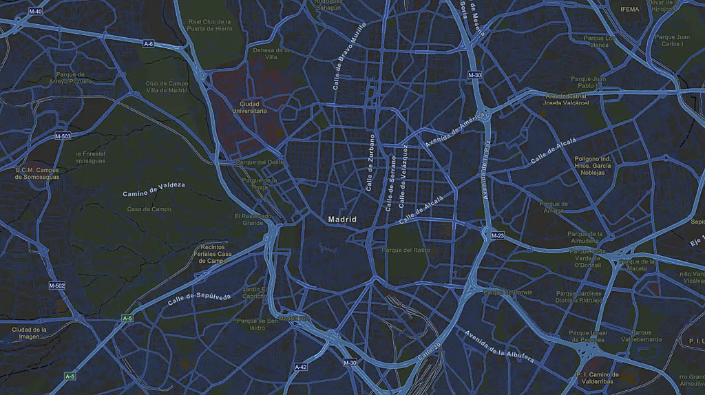
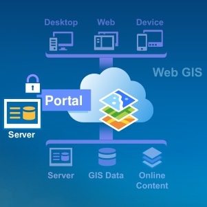
Introducing Portal for ArcGIS
Portal for ArcGIS is an Esri product that extends ArcGIS for Server. This blog post describes what the product is all about and how it is different from ArcGIS Online. By Eric van Rees What is a portal? Esri defines a portal is an important logical component of a...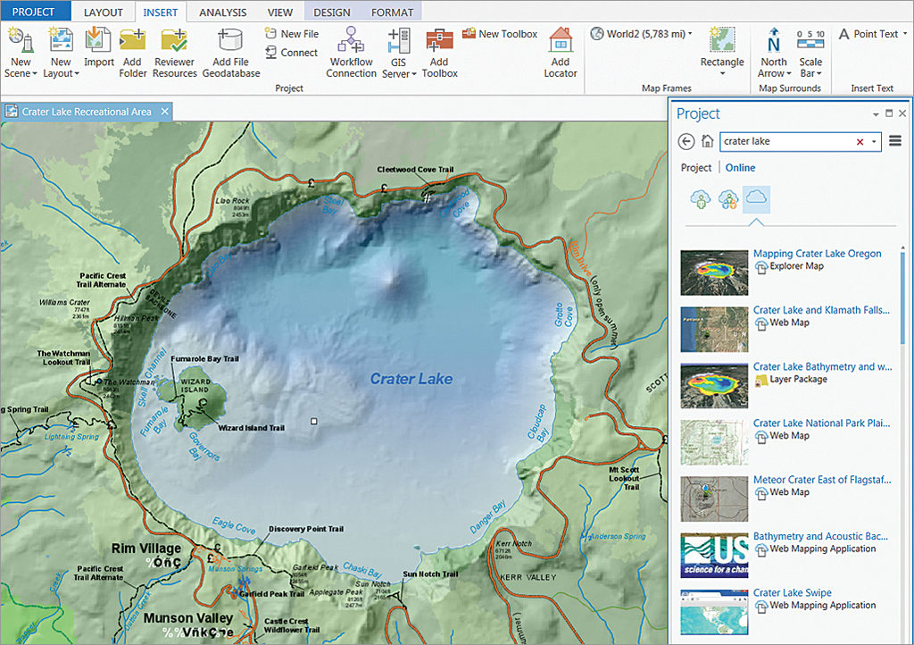
Using Imagery in ArcGIS Pro
ArcGIS Pro supports all present-day patterns of airborne and satellite imagery use. This blog post describes some of the improvements that have been made in Pro with regards to using imagery, enhancing the user experience. By Eric van Rees Satellite and airborne...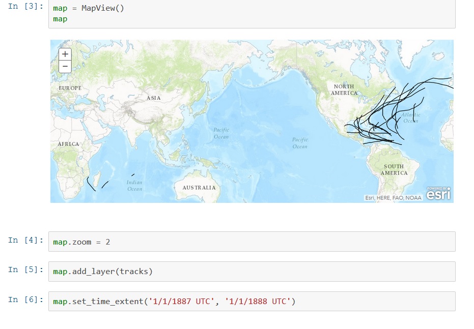
Introducing the ArcGIS Python API
Last June, Esri announced a new API called the ArcGIS Python API, that extends the power of Python over the web. This blog post describes what it is and how it can be used. By Eric van Rees What is the ArcGIS Python API? Esri has been offering support for Python, a...
Python in ArcGIS Pro 1.3: What’s New
Working with Python in ArcGIS Pro 1.3 will be different from earlier versions. From this new version, Esri will integrate the functionality of conda. This blog discusses how using Python is different to earlier versions and what is conda. By Eric van Rees ArcGIS Pro...