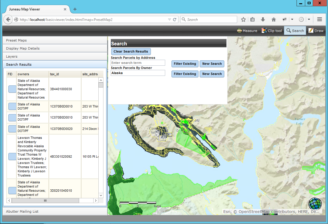


City of Juneau, AK Map Viewer
Geospatial Training Services developed an ArcGIS Server viewing application for the City of Juneau, Alaska that allows internal and external users to view imagery, streets, parcel boundaries, property structures including condos, manufactured homes, and cell phone...
Widgets and the ArcGIS API for JavaScript 4.0
This blog post discusses how the new ArcGIS API for JavaScript 4.0 deals with widgets. What is a widget? Working with widgets is an essential part of the ArcGIS API for JavaScript. Esri calls widgets “the building blocks of the user interface”. But what is a widget...
