This short tutorial covers how to use the ArcGIS API for Python and pandas DataFrame objects for displaying tabular data inside of your Jupyter Notebook application. After searching and referencing spatial data, you the pandas library enables you to subset, describe...
Late December of 2017, Esri released the 1.3 version of their ArcGIS API for Python. The release counts many new features and capabilities. Three of these are covered below: easier login to ArcGIS Online, a new module for data enrichment and an easier ways to save and...
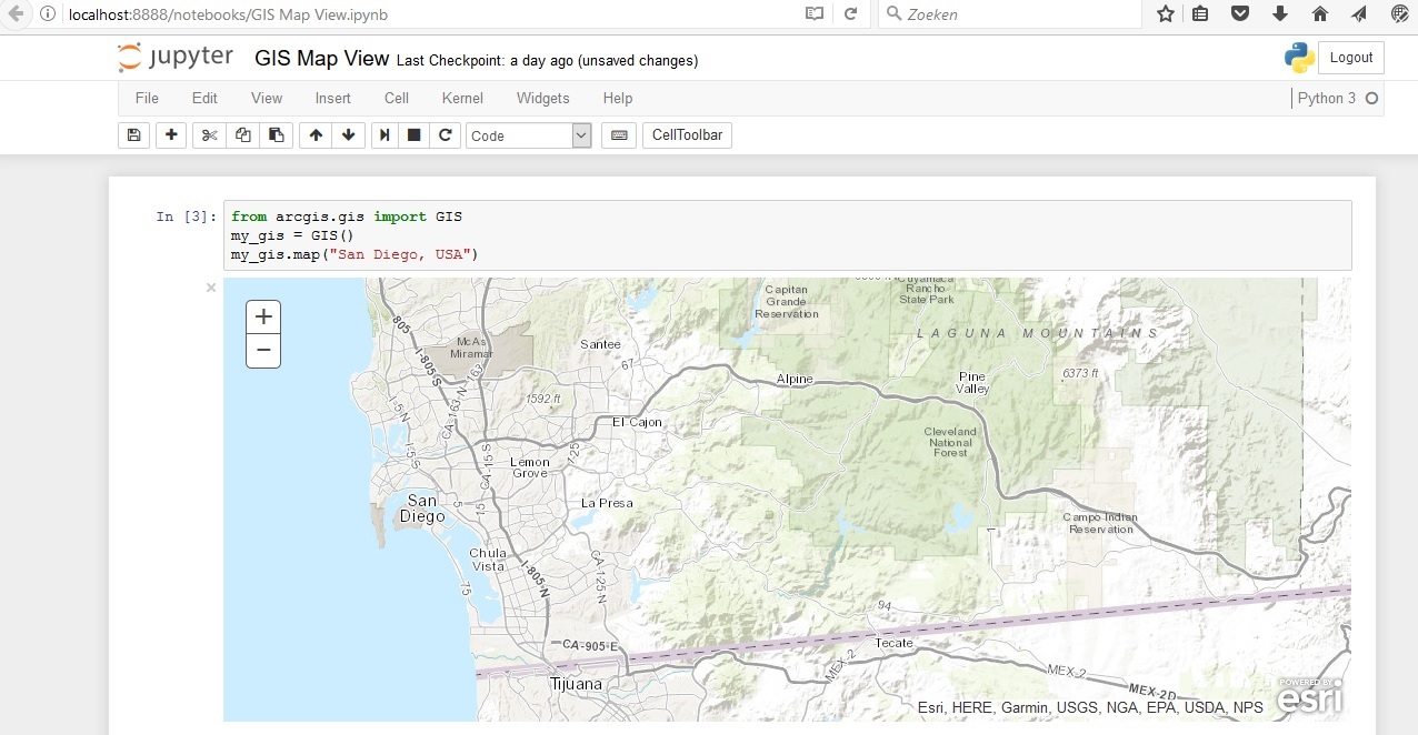
Esri´s ArcGIS API for Python provides GIS users with a Python API for their Web GIS, whether that´s ArcGIS Online, ArcGIS Portal or ArcGIS Enterprise in the cloud. Esri describes the API as “a powerful, modern and easy to use Pythonic library to perform GIS...