Imagery Tools in ArcGIS Desktop
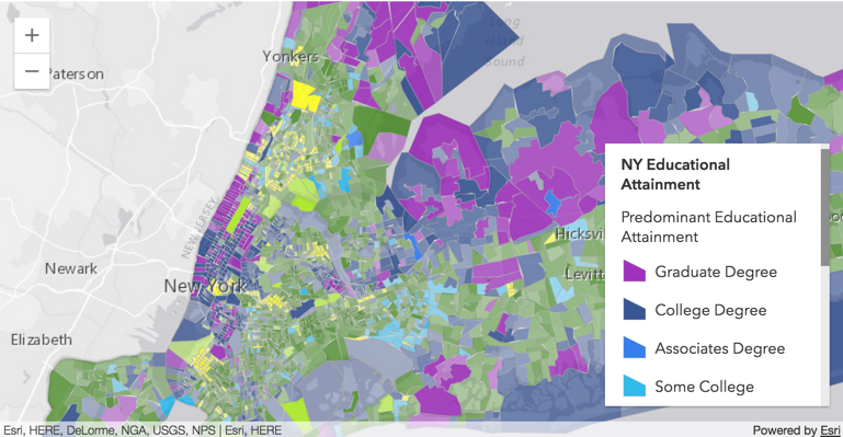
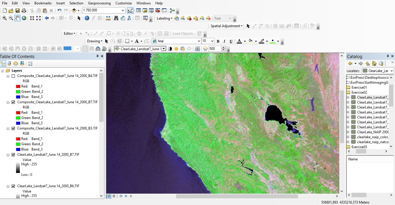
Airborne and satellite imagery these days is available in multiple bands, which gives the user the opportunity to enhance and use it for a wide range of applications. This blog describes some of the tools available in ArcMap to do this. By Eric van Rees...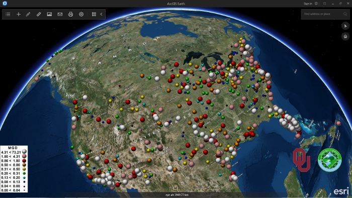
ArcGIS Earth 1.1: What’s New and What’s Next
Last April, Esri announced the second release of ArcGIS Earth, version 1.1. This blog post discusses a number of new features that come with this new release, as well as Esri´s roadmap for upcoming releases and features. Last January, Esri released a new software...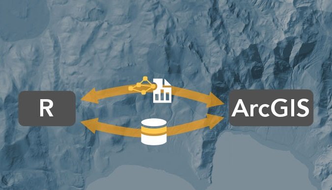
Introducing the R-ArcGIS Bridge
Bringing together the user communities of R and ArcGIS was the motivation behind the release of the R-ArcGIS bridge software package last year. This blog post discusses how GIS can incorporate the R language and enhance geospatial workflows. By Eric van Rees What is...