
Getting to Know GeoJSON
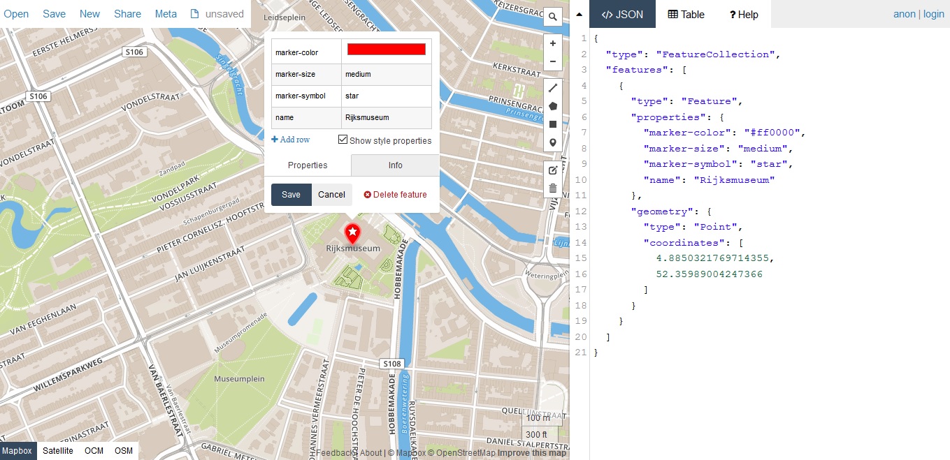
GeoJSON is a geospatial data format that has become quite popular in the last few years. This blog post discusses what GeoJSON is, how you can create it and some Esri tools that enable using the format. What is GeoJSON? The GeoJSON data format is a data format based...
Esri and R Support: The Big Picture
This blog post covers Esri’s recent involvement in the open data science community and R in particular. Also covered is why R is so popular among statisticians, how the ArcGIS-R bridge can benefit ArcGIS users and the challenges that come with using R. Until 2015,...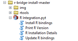
Getting Started with the ArcGIS-R Bridge
This blog post tells you how to install and get started with the ArcGIS-R bridge. Installing the ArcGIS-R bridge The installation for both ArcMap and ArcGIS Pro is pretty straightforward: after a clone or download from its GitHub repository, you can find detailed...