
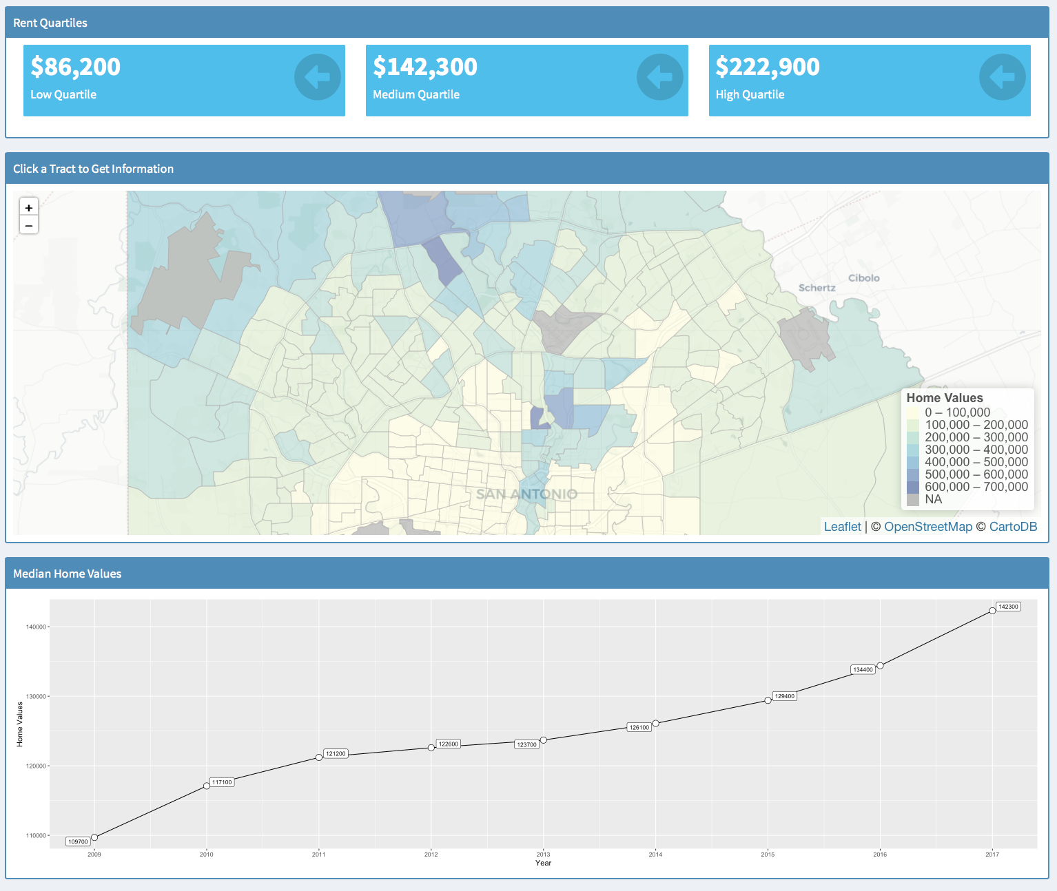

ArcGIS Pro Keyboard Shortcut List
When teaching ArcGIS Pro classes, I am often asked about keyboard shortcuts. They are not all the same as ArcMap. Here is a link for a PDF poster from Esri showing the keyboard shortcuts for ArcGIS Pro. Hope this is helpful....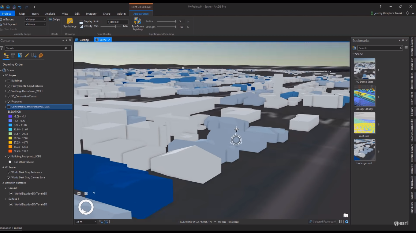
Esri User Conference Product Updates
Together with this year’s Esri UC, a set of product updates were announced: ArcGIS Pro 2.4, its product extensions, the Pro .NET SDK and the ArcGIS API for JavaScript. ArcGIS Pro 2.4 The most important product release for this year’s UC is the latest release of ArcGIS...
A Computer Nerds Guide to Hardware for ArcGIS Pro
I know most of us in the GIS field do not pay a lot of attention to basic computer tech such as processors or video cards. However with the migration to ArcGIS Pro, the need to be up to date on current computer tech trends is increasing. As a closet (ok not so closet)...