Tutorial: Adding New Features to a Dataset with the Append Tool in ArcGIS Pro
In this tutorial, you’ll learn how to append new data to existing data in Pro using the Append tool. The Append Tool in ArcGIS Pro is used to add new features or other data from multiple datasets into an existing dataset. It adds new data to an existing dataset of the...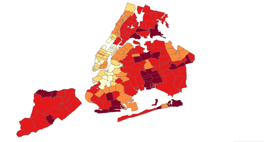
Tutorial: Creating a COVID-19 Map of NYC in ArcGIS Pro
In this tutorial, you’ll be recreating a COVID map of NYC that shows percentages of COVID cases for different parts of the city over the last seven days. Introduction The following link shows an interactive web map of COVID-19 cases in NYC (also displayed on the image...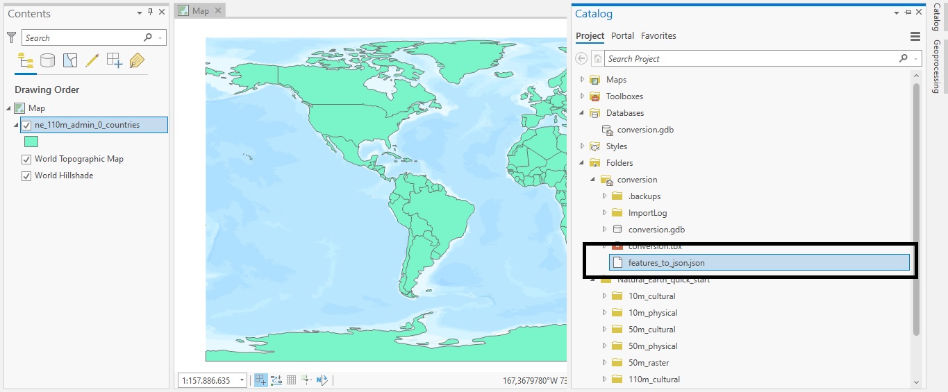
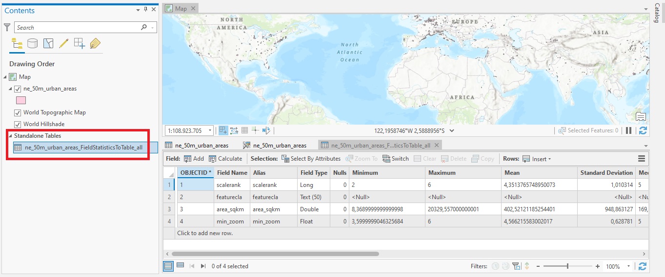
Tutorial: Converting Shapefiles to JSON with ArcGIS Pro
In this tutorial, we’ll cover how you can do data conversion with ArcGIS Pro’s Conversion toolset. Data conversion means that you will change data from one file format to another. This is often required when importing or exporting data out of Pro and use it in another...