

Zillow Local Market Rental Overview Application
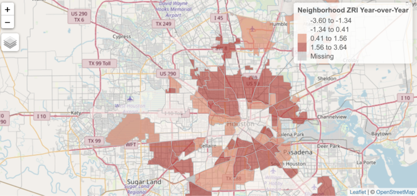
Head over to our sister site – Location3x – and check out a sample application that we built with Shiny and R. The Zillow Market Overview: Rentals application is a dynamic web application that illustrates the visualization capabilities provided by the...
You Can Still Save 10% on GIS Training through December 31st
Our 15th annual holiday sale is ending December 31st. You can still save up 10% on any GIS training that we provide including our Annual GIS Training License and any of our live training events. Simply use the discount code ‘holiday‘ when checking out online to apply...
Save up to 20% on GIS Training During our 15th Annual Holiday Sale
Our 15th annual holiday sale begins today, November 13th. You can save up to 20% on any GIS training that we provide including our Annual GIS Training License and any of our live training events. Simply use the discount code ‘holiday‘ when checking out online to apply...