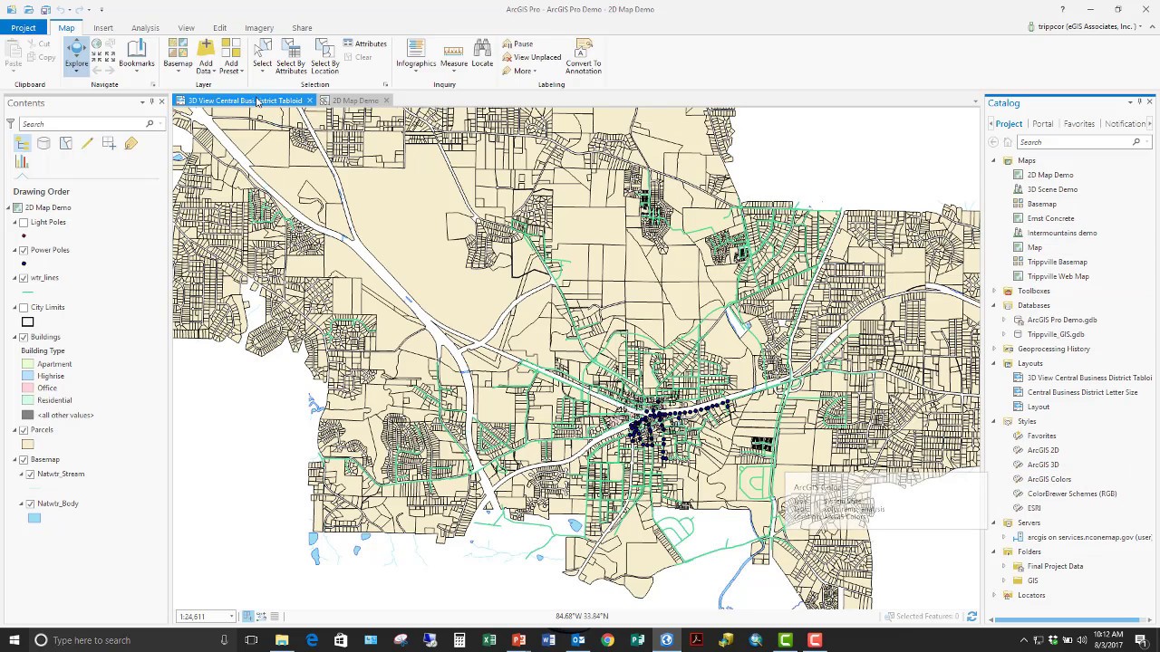
Esri has already put ArcGIS 2.1 in the hands of beta testers. This new version promises to add even more capability to Esri’s newest desktop GIS application. With 2.1, ArcGIS Pro is almost at parity with the old ArcGIS Desktop (ArcMap, ArcCatalog, ArcScene and...
Articles & Tutorials
Managing ArcGIS Pro Layouts with Arcpy – Free Book Chapter
I’m happy to announce that my latest book, Programming ArcGIS Pro with Python, is scheduled for e-book publication on November 1st, 2017. Before downloading the free chapter please sign up for our email newsletter. You can download and read Chapter 5: Managing...
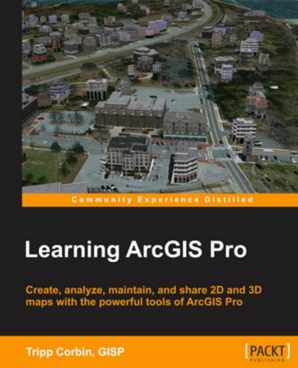
Programming ArcGIS Pro with Python (1st edition)
Programming ArcGIS Pro with Python, has been published in digital format and printed paperback versions. $39.00 Digital Version $44.00 Printed Paperback Version Note: A new version of PyCharm has been released since this book was published. The method used...
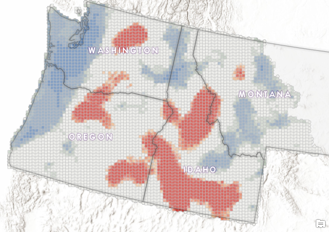
What Can Spatial Analytics Tell Us About 30 Years of Large Wildfires in the Pacific Northwest?
Studies suggest that over the past few decades, the number and size of wildfires have increased throughout the western United States. The average length of wildfire season has increased significantly as well. According to the Union of Concerned Scientists...
Get a List of Unique Attribute Values using Arcpy
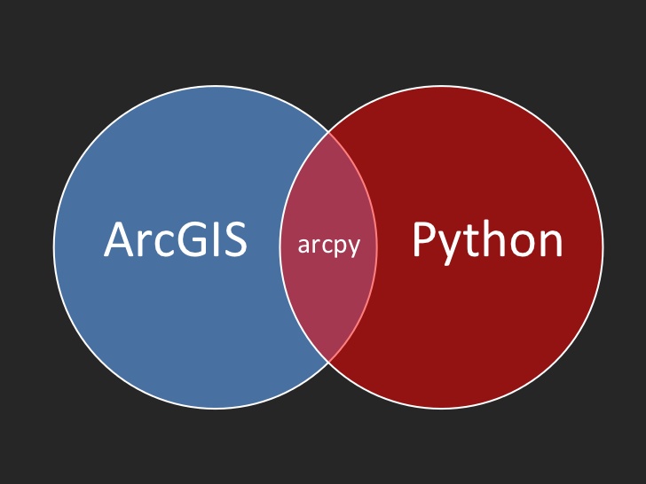
In this article we'll examine how you can use Python with Arcpy and Numpy to create a list of unique attribute values from a field. While there are certainly other ways to do this either in ArcGIS (Desktop or Pro) or through SQL we'll focus specifically on the needs...
Class News: Introduction to Programming ArcGIS Pro with Python Released
Our new Introduction to Programming ArcGIS Pro with Python class has been released! This class is offered is a variety of formats including classroom, live-online, and self-paced online. Read more about the class. In our Introduction to Programming ArcGIS Pro with...
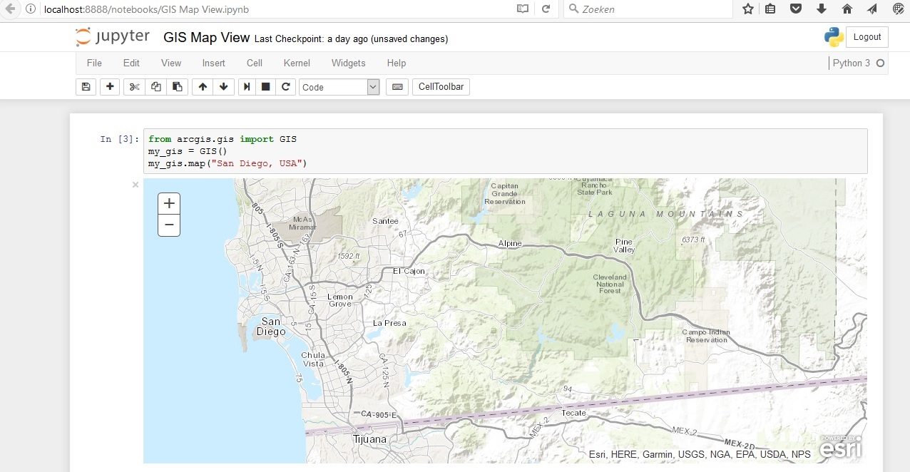
The Jupyter Notebook App for ArcGIS Users
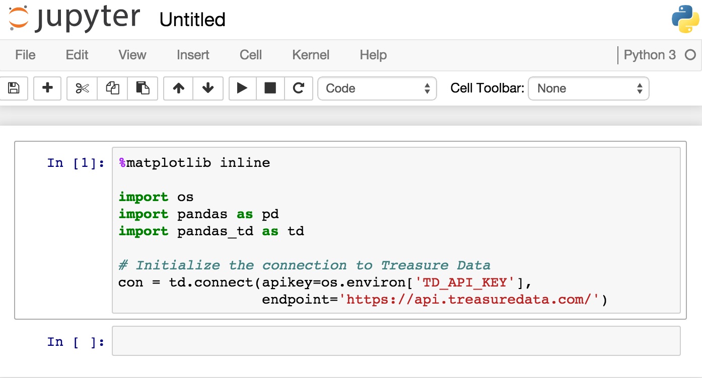
Esri has adopted the Jupyter Notebook App through Anaconda, which is now shipped with ArcGIS Pro. It is an ideal working environment for ArcGIS Pro users working with Python 3, as well as the ArcGIS API for Python. Server-client application The Jupyter Notebook App is...
First Impressions of the ArcGIS API for Python
Esri´s ArcGIS API for Python provides GIS users with a Python API for their Web GIS, whether that´s ArcGIS Online, ArcGIS Portal or ArcGIS Enterprise in the cloud. Esri describes the API as “a powerful, modern and easy to use Pythonic library to perform GIS...
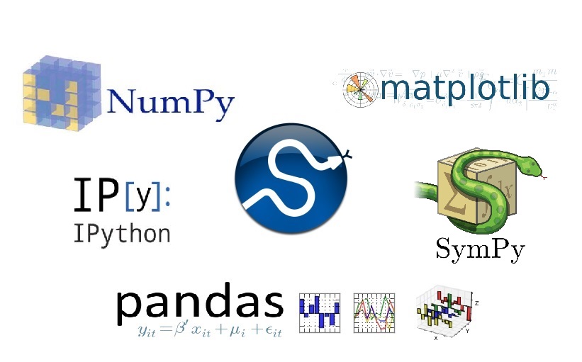
Getting to Know the SciPy Stack
This blog post introduces the Python packages that can be found in the SciPy stack, that is now shipped with ArcMap and available through Conda for ArcGIS Pro users. SciPy is a Python-based ecosystem of open-source software for mathematics, science, and engineering....
ArcGIS Pro Tip: Be Careful When Using Custom Project Templates
While ArcGIS Pro has become an impressive application, making use of 64 bit .NET architecture with a modern ribbon interface, I have found it does have some gotchas which can make you pull your hair out. One of these is when you try to use a...

