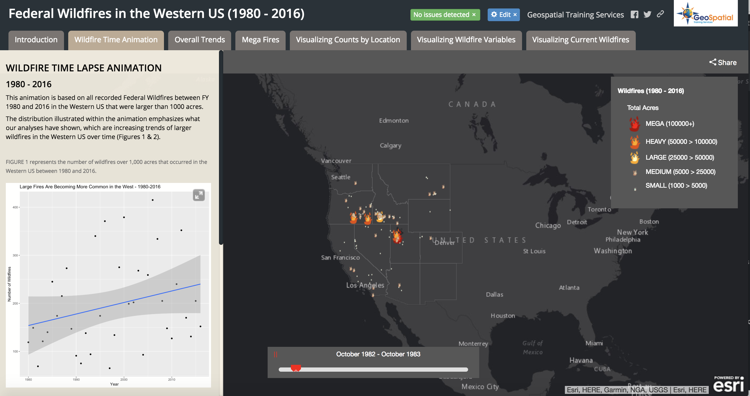
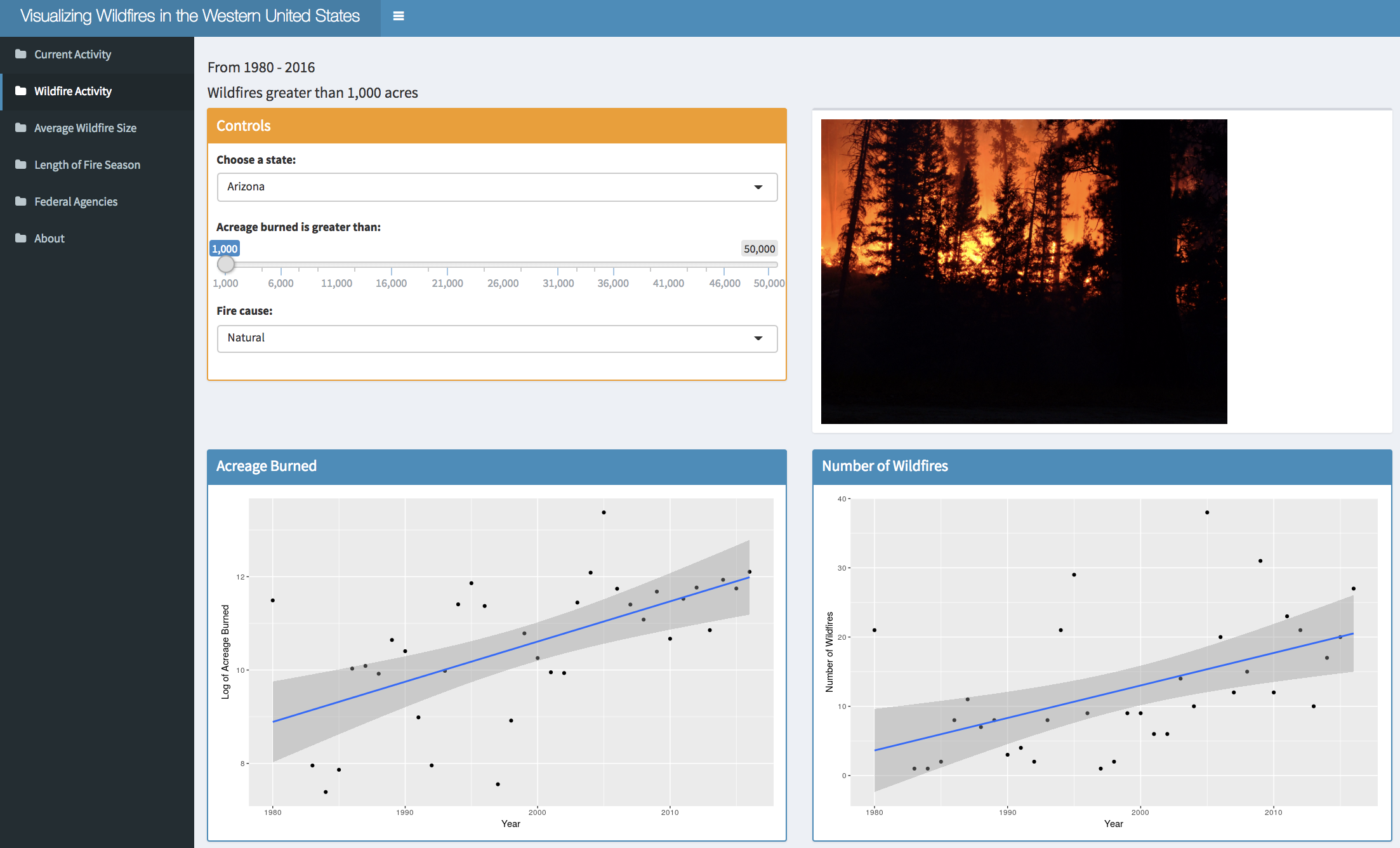
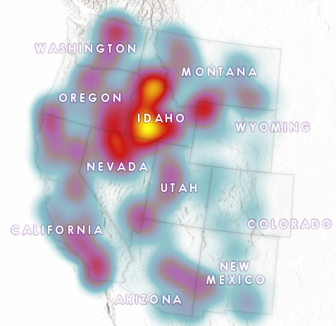
The 2017 wildfire season shattered records and cost the U.S. Forest Service an unprecedented $2 billion. From the Oregon wildfires to late season fires in Montana, and the highly unusual timing of the California fires in December, it was a busy year in the Western...
Articles & Tutorials
ArcGIS Pro 2.2 Released – Lots of New Features
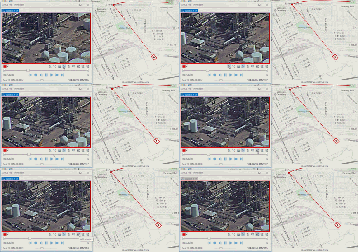
ArcGIS Pro 2.2 is a major release full of exciting new features. If you haven't already begun migrating from ArcGIS Desktop to ArcGIS Pro now is certainly a great time to get started. ArcGIS Pro 2.2 is Esri's 64-bit flagship desktop product. Here are some of the...
Microsoft Generates 125 million Building Footprints using AI and Deep Learning
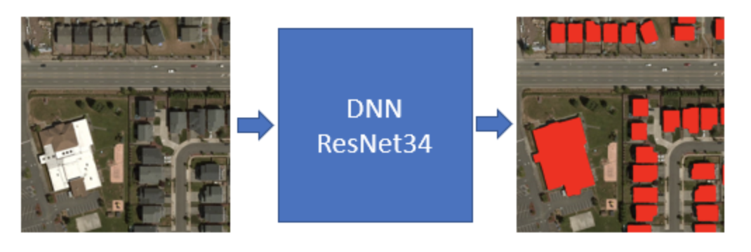
Microsoft has announced the availability of approximately 125 million building footprint polygon geometries in all 50 US States in an open source GeoJSON format. Using a two step process centered around the use of artificial intelligence (AI), deep learning, and...
Spatial Visualization with R and ggmap
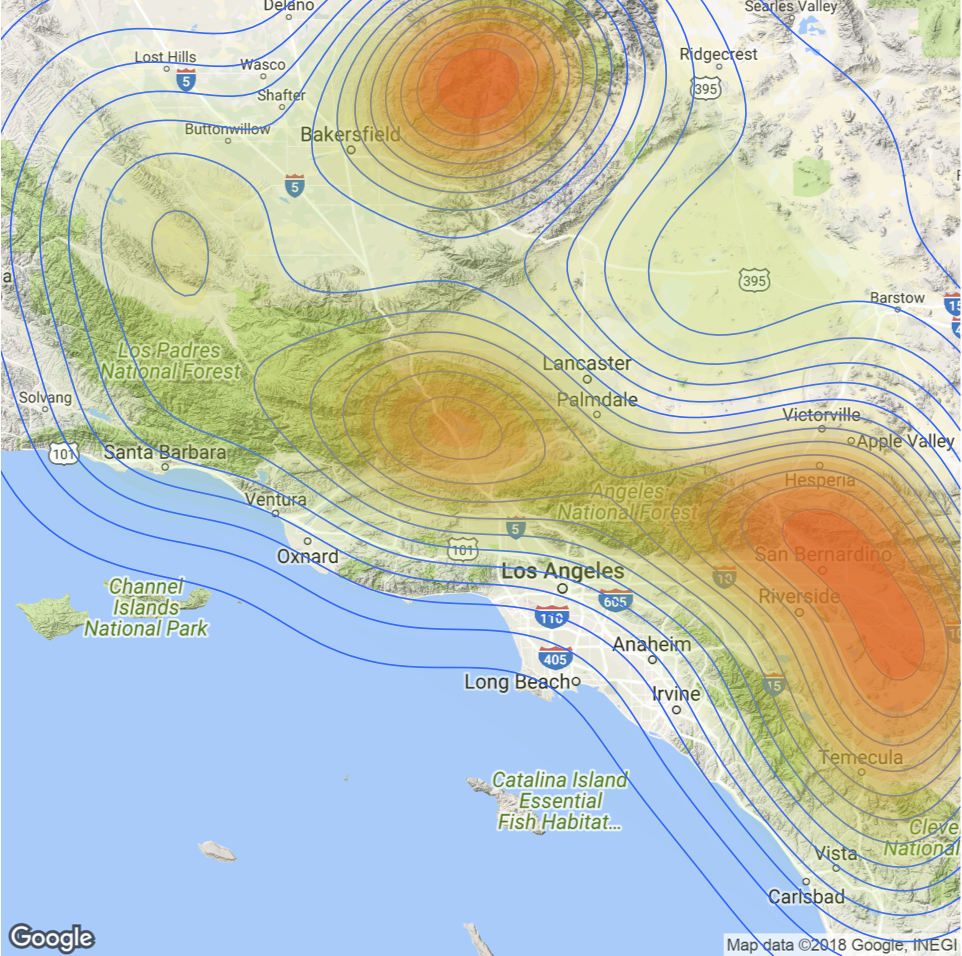
The ggmap package enables the visualization of spatial data and spatial statistics in a map format using the layered approach of ggplot2. This package also includes basemaps that give your visualizations context including Google Maps, Open Street Map, Stamen Maps, and...
Interactive Wildfire Application for Western United States
Using the Federal Wildland Fire Occurrence Database along with current wildfire activity information provided by Inciweb and drought information provided by the University of Nebraska, Geospatial Training Services has developed an interactive web application for...
ArcGIS Pro Class Descriptions – 7 Classes Now Available
The demand for ArcGIS Pro training has been growing at an ever increasing rate. To meet this demand, we have developed seven classes ranging from beginner to advanced levels of ArcGIS Pro. Below you will find class descriptions for all seven of our ArcGIS Pro...
Configuring ArcGIS Pro Options
Today’s video provided courtesy of Tripp Corbin of eGIS Associates. Upcoming ArcGIS Pro Classes. You can save up to 15% on any of these courses during the month of May, 2018. Learning ArcGIS Pro 2: Analysis, Automation, and...
ArcGIS Pro 2.x – Do you have enough computer horsepower?
Today's video provided courtesy of Tripp Corbin of eGIS Associates. Upcoming ArcGIS Pro Classes. You can save up to 20% on any of these courses during the month of May, 2018. Learning ArcGIS Pro 1: Fundamentals May 22nd and...
Visualizing the Surge in Large Wildfire Activity in the Western United States
The 2017 wildfire season shattered records and cost the U.S. Forest Service an unprecedented $2 billion. From the Oregon wildfires to late season fires in Montana, and the highly unusual timing of the California fires in December, it was a busy year in the Western...
How to Add GIS to your Data Science Skills
During our 14th Annual Anniversary Sale you can save up to 25% on GIS training. As we´ve seen in the first article, the future for data scientists looks bright. Here, we´ll cover how GIS technology can enhance the skillset of any data scientist. As discussed in the...

