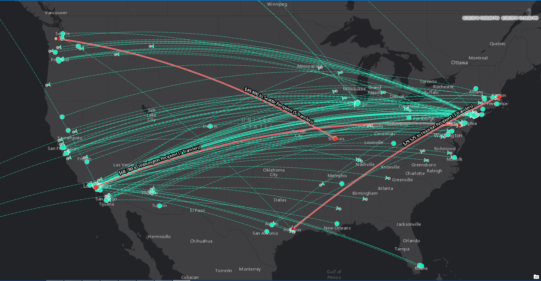
Late December 2016 saw the release of ArcGIS 10.5, a major release that comes with many new capabilities with regards to its server and cloud capabilities. The big takeaways for 10.5 are large-scale analytics, big data capabilities plus a renamed and reorganized ArcGIS Server product family. Finally, Portal-to-portal collaboration is a new way of sharing content between multiple web GIS implementations.
ArcGIS Enterprise for Analytics and Big data
ArcGIS Server has been renamed ArcGIS Enterprise as of the 10.5 release. As it turns out, ArcGIS Enterprise is now a collective term for the ArcGIS for Server product family that includes ArcGIS Server, Portal for ArcGIS, ArcGIS Data Store, and ArcGIS Web Adaptor. Two of these individual products have been updated with new features as well: Portal for ArcGIS software component now has with 3D capabilities, while the ArcGIS Server software component enables you to set up five different servers with one single server software component.
In addition to this, three other server-based products offer large-scale analytics and big data capabilities. What is worth noting is that these applications add more scalability with regards to spatial analytics to the platform – previous spatial analytics functionality from Esri (Insights for ArcGIS) was only available through a separate application.
The first ArcGIS Enterprise product adding large-scale analytics is ArcGIS GeoAnalytics Server, through tools that improve processing time for large volumes and detailed datasets. It is designed for space-time analysis on massive vector and tabular data. The new GeoAnalytics tools from ArcGIS GeoAnalytics Server can be accessed through ArcGIS Pro 1.4, Portal for ArcGIS map viewer, or though the ArcGIS REST API, as well as the new ArcGIS Python API.
Second, there´s the ArcGIS Image Server product which enables fast and efficient processing, analysis and sharing of massive collections of imagery and rasters. Both ArcGIS GeoAnalytics Server and ArcGIS Image Server introduce distributed and parallelized computing, speeding up analysis time.
Third, there´s ArcGIS GeoEvent Server, which replaces the ArcGIS Server GeoEvent Extension available in previous releases. It is designed to handle high volume, high velocity real-time and streaming data, provides solutions through on-the-fly analysis and dynamic aggregation of large datasets, easing data visualization.
Portal to Portal Collaboration
10.5 also introduces portal to portal collaboration as a way of sharing content between multiple web GIS implementations. It is now possible to connect multiple on-premises ArcGIS organizations and distribute a Web GIS across a network of portals. The benefit of establishing a distributed Web GIS is to organize, network, and share content across departments and geographic areas. Any item that can be added to your Portal for ArcGIS content library can be shared with collaboration participants. One possible deployment pattern uses a centralized portal hub pattern where the centralized portal hosts the collaboration and aggregates content from several guest portals. A second option is a collaboration between two portals where one is established as the host and one as a guest.

